| Place | Map Lat. N Lon. W |
Population Year/People |
History | Topo Map | |
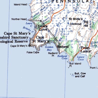
| Golden Bay | 1L/6 46° 49' 54° 09' |
1857/5 1891/3 1901/9 1911/10 |
settled by 1850 abandoned after 1911 |
 | |
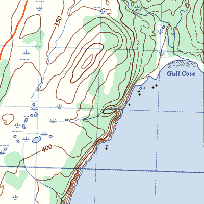
| Gull Cove | 1L/16 | 1857/7 1869/11 1901/22 1921/15 |
settled by 1850 abandoned after 1921 |
 | |
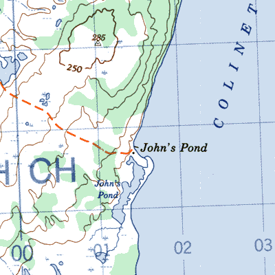
| Johns Pond | 1N/4 47° 08 53° 37' |
1845/28 1901/72 1911/54 1961/10 |
settled by 1857 abandoned by 1971 |
 | |
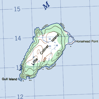
| Little Colinet Island | 1N/4 47° 03' 53° 04' |
1845/7 1857/10 |
settled by 1840 abandoned by 1860 |
 | |
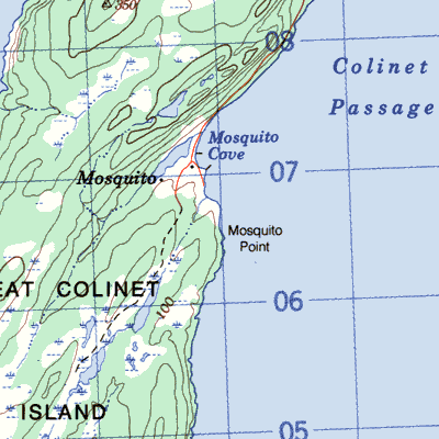
| Mosquito, Great Colinet Island | 1K/13 46° 59' 53° 41' |
1845/24 1901/62 1941/72 1961/45 |
settled by 1836 abandoned by 1970 |
 | |
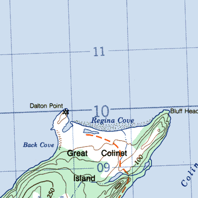
| Regina (Mother Ixx or ~ Rex to 1913; Reginaville after 1949), Great Colinet Island | 1N/4 47° 01' 53° 40' |
1836/53 1845/14 1874/26 1911/54 1921/69 1945/101 1961/59 |
settled 1820's abandoned by 1965 |
 |