| Place | Map Lat. N Lon. W |
Population Year/People |
History | Topo Map | |
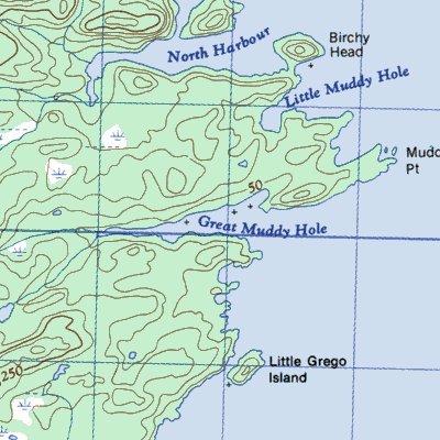
| Muddy Hole, New Bay Peninsula | 2E/12 49° 30' 55° 42' |
1884/33 1901/37 |
settled by 1884 abandoned after 1901 |
 | |
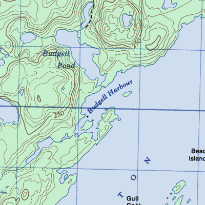
| Osmonton or Budgells Harbour | 2E/6 49° 27' 55° 24' |
1901/28 1921/45 |
settled 1890's abandoned after 1921 |
 | |
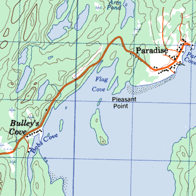
| Paradise (Pleasantview) with Bobby’s Arm or ~ Cove | 2E/6 49° 22' 55° 19' |
1921/36 1941/69 1966/7 |
settled between 1911 and 1921 abandoned by 1945 |
 |