| Place | Map Lat. N Lon. W |
Population Year/People |
History | Topo Map |
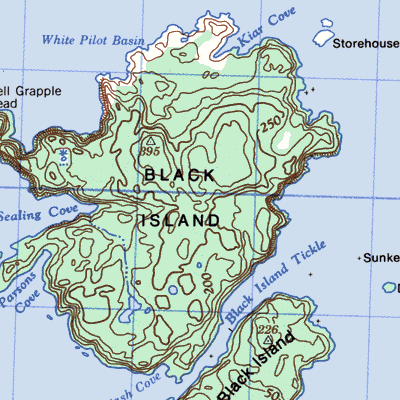
| Black Island includes Hamilton Cove, Sealing Bight, Storehouse Island, Little Black ~, and Kiars (Kyers) Cove | 2E/10 49° 32' 54° 59' |
1845/124 1884/254 1941/118 1945/145 1956/108 |
settled by 1845 abandoned 1920-1940 abandoned by 1965 |
 |
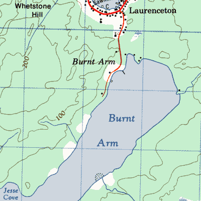
| Burnt Arm | 2E/3 49° 11' 55° 17' |
1891/107 1901/178 1921/237 1941/117 1945/45 1961/11 |
settled 1850's abandoned 1961 |
 |
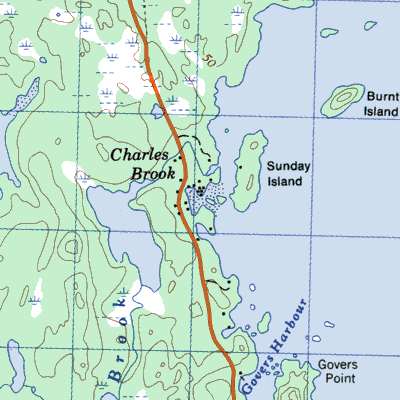
| Charles Brook | 2E/6 49° 20' 55° 15' |
1911/57 1935/30 |
fishing station after late 1700's settled by 1870's abandoned by 1945 |
 |
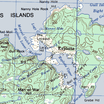
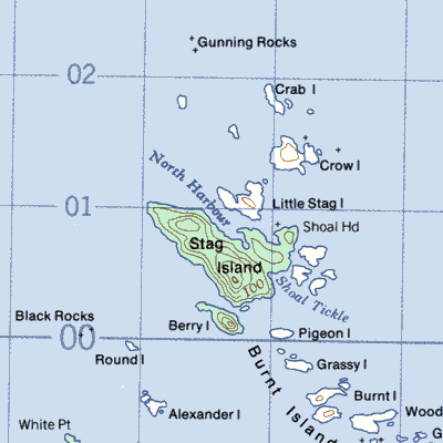
| Exploits, Burnt Islands | 2E/11 49° 31' 55° 04' |
1845/326 1869/535 1874/623 1941/296 1961/135 1966/289 1976/5 |
settled 1762 abandoned 1976 |
 |
| Northern Harbour (North ~) | 2E/12 49° 39' 55° 39' |
1857/39 1884/59 1901/39 |
settled by 1857 abandoned by 1911 |
 |
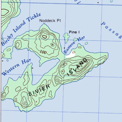
| Sivier Island | 2E/7 49° 21' 54 59' |
1911/31 1921/55 |
settled 1890 abandoned 1925 |
 |
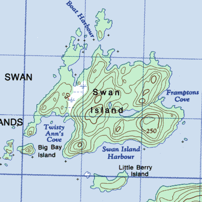
| Swan Island (~ Harbour Island) with Boat Harbour, Twisty Anne Cove and Frampton ~ | 2E/6 49° 28' 55° 03' |
1891/22 1945/5 |
settled in 1880's abandoned by 1935 settled 1945-1948 |
 |
| Thwart Island | 2E/16 49° 18' 55° 08' |
1921/13 1945/19 |
settled 1903 abandoned by 1925 to 1945 abandoned 1946 |
 |
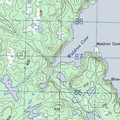
| Waldron Cove | 2E/11 49° 32' 55° 10' |
1845/46 1911/85 1935/24 1945/19 |
settled by 1835 abandoned after 1945 |
 |