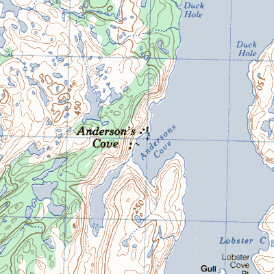
Anderson's Cove west of Long Harbour Point Fortune Bay
|
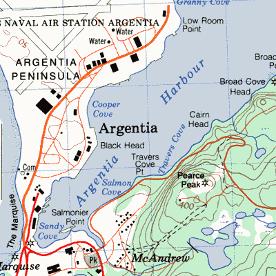
Argentia on a small peninsula on the east side of the bay
|
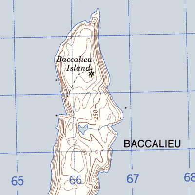
Baccalieu Island at the tip of the Bay de Verde Peninsula
|
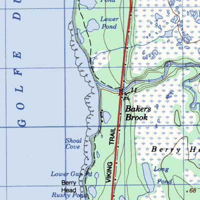
Baker's Brook between Rocky Harbour and Sally's Cove
|
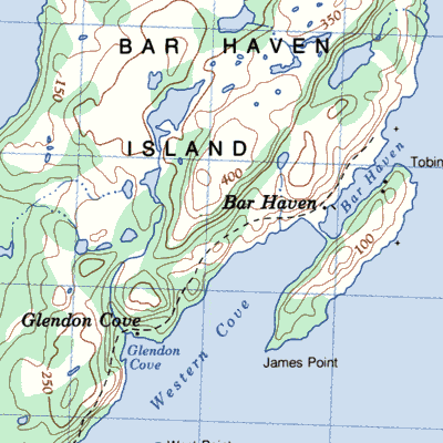
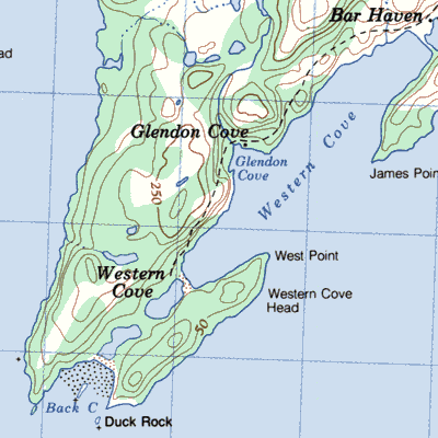
Bar Haven with Glendons Cove on the northnwest side of the bay
|
Barretts Siding near Georges Brook
|
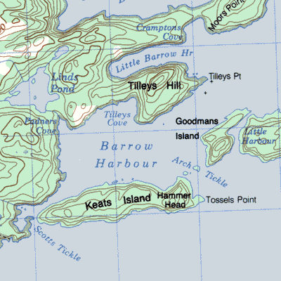
Barrow on the west side of the bay near Belleoram
|
Barrow Harbour on the southeastern tip of the Eastport Peninsula
|
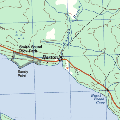
Barton at the mouth of Snook's Brook between Harcourt and George's Brook in Smith Sound
|
Bay deEst in northern Fortune Bay east of Belleoram
|
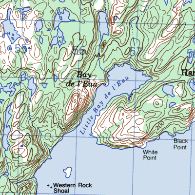
Bay de L'eau in northern Fortune Bay east of Belleoram
|
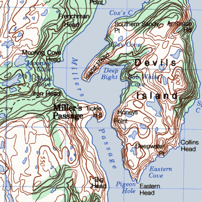
Bay de L'Eau Island forms east side of Millers Passage
|
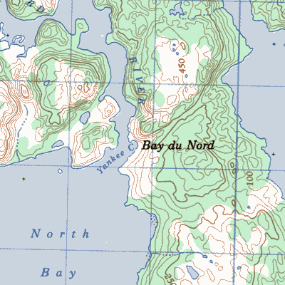
Bay du Nord at the mouth of Bay du Nord

|
Bay de North at the head of North Bay of Hermitage Bay
|
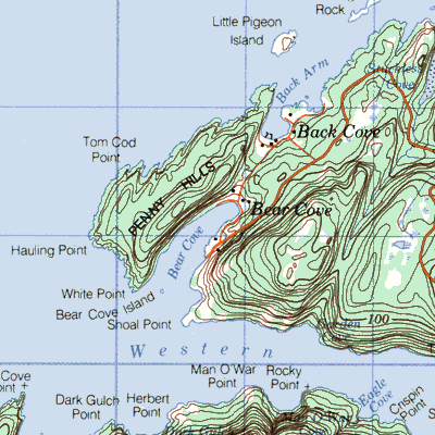
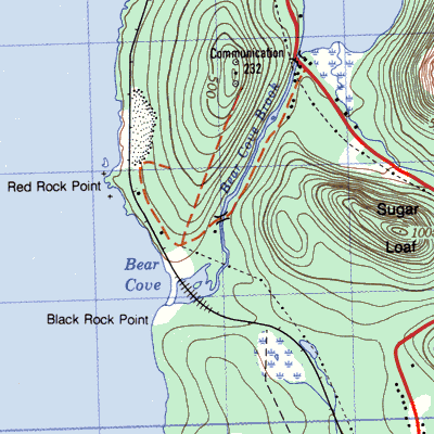
Bear Cove in White Bay on the west side of the Baie Verte Peninsula
|
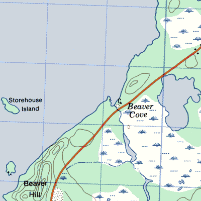
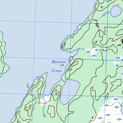
Beaver Cove north of Carmanville
|
Beaverton between Boyd's Cove and Port Albert on the shores of Dildo Run
|
Belle Isle at the north entrance to the Straight of Belle Isle
|
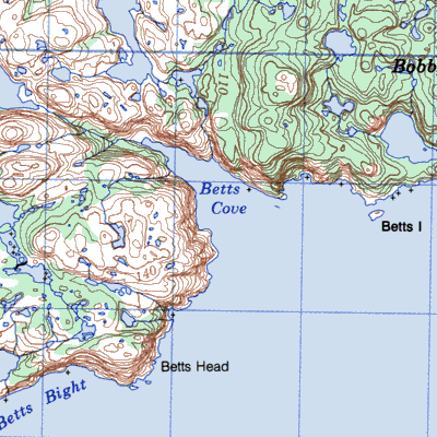
Betts Cove on the east side of the Baie Verte Peninsula 27km southwest of Cape St. John
|
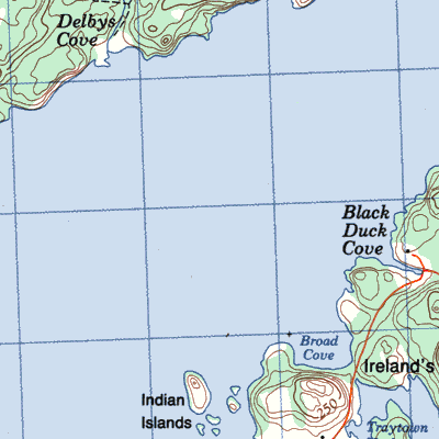
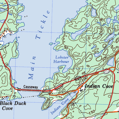
Black Duck Cove on the west side of the island of Ireland's Eye near the northeast entrance to Smith Sound
|
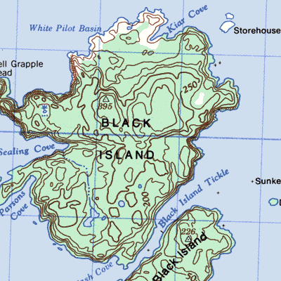
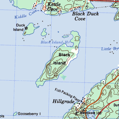
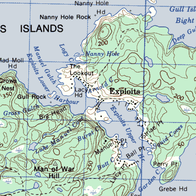
Black Island in the Bay of Exploits
|
Black Island Friday Bay between South Twillingate Island and New World Island
|
Blanchard near Mose Ambrose
|
Blow-me-down north of Carbonear
|
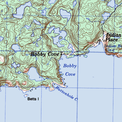
Bobby's Cove, Green Bay south of Snook's Arm Green Bay
|
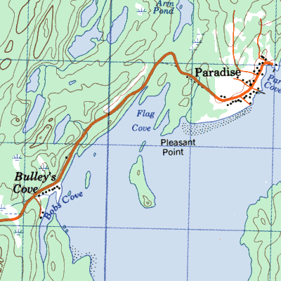
Bobby's Cove, later Paradise and Pleasantview, Notre Dame Bay near Point Leamington
|
Bottle Cove at the southwest entrance north of Lark Harbour

|
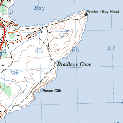
Bradley's Cove east of Western Bay
|
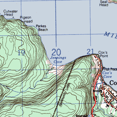
Brake's Cove at the head of Jennings Cove in Middle Arm south of Cox's Cove
|
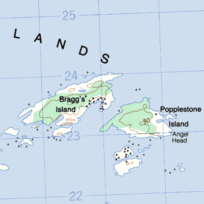
Bragg's Island, Deer Island and Green's Island on the north side of Bonavista Bay southeast of Trinity
|
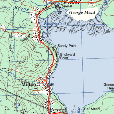
Brickyard near Clarenville
|
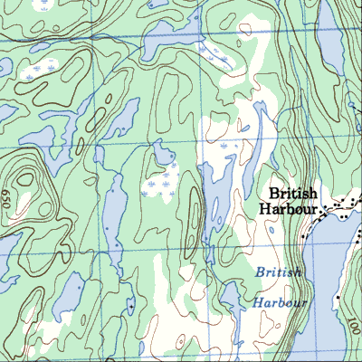
British Harbour about 19km southwest of Trinity
|
Broom Close on the tip of the Eastport Peninsula north of Salvage

|
Brown's Cove south of Sop's Arm
|
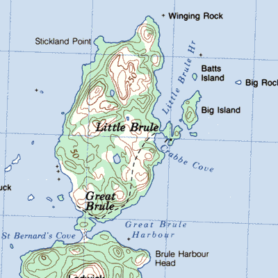
Brule or Great Brule near the northern tip of Merasheen Island
|
Bull Cove 2.5km east of Brigus
|
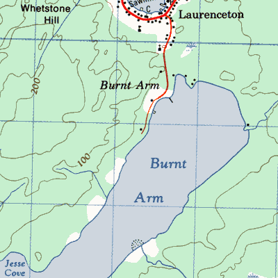
Burnt Arm in the Bay of Exploits
|
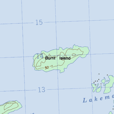
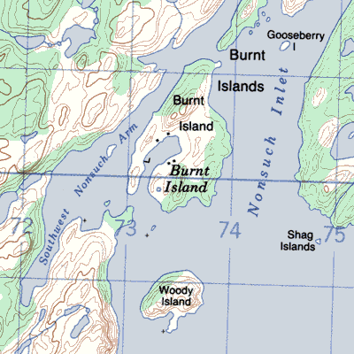
Burnt Island one of the Deer Islands group in Northern Bonavista Bay 11km from Greenspond
|
Burnt Island later Port Anne Burnt Island in Nonsuch Arm west of Petite Forte
|
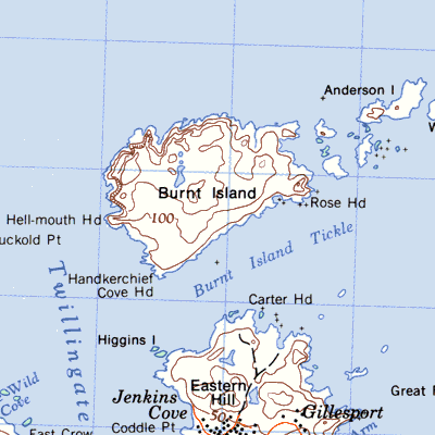
Burnt Island Tickle at the northern tip of South Twillingate Island
|
Burtons Pond on the north shore of Green Bay

|
Butter Cove north of Little Heart's Ease Random Sound
|
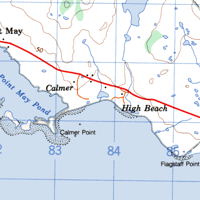
Calmer west of Lamaline near Point May
|
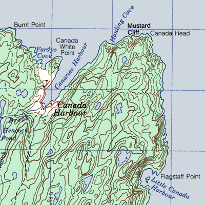
Canada Harbour on the southwest entrance to Canada Bay
|
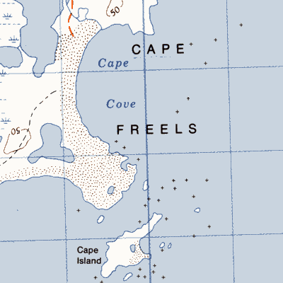
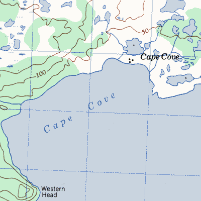
Cape Cove at Cape Freels
|
Cape Cove on the northeast side of Fogo Island
|
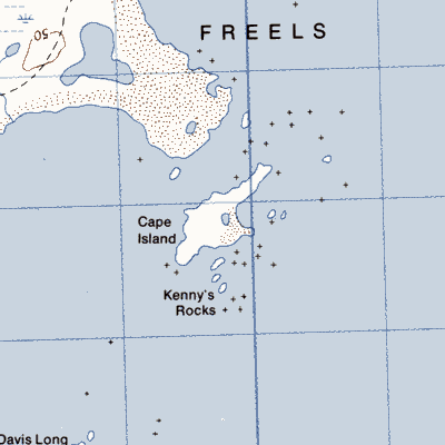
Cape Island near Cape Freels at the northern entrance to Bonavista Bay
|
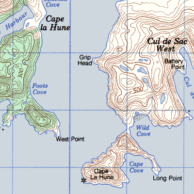
Cape La Hune at the western entrance to Hermitage Bay
|
Chaleur Bay or Bay of Chaleur northeast of Cape La Hune
|
Chance Cove 10km (6 mi) northeast of Cape Race
|
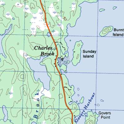
Charles Brook in the Bay of Exploits
|
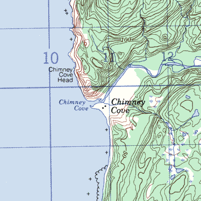
Chimney Cove between Bay of Islands and Bonne Bay on St. Gregory River
|
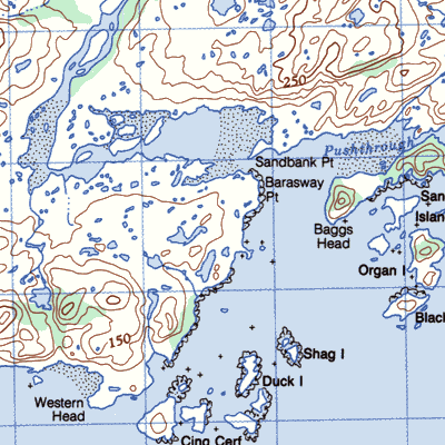
Cinq Cerf between Bay of Islands and Bonne Bay on St. Gregory River
|
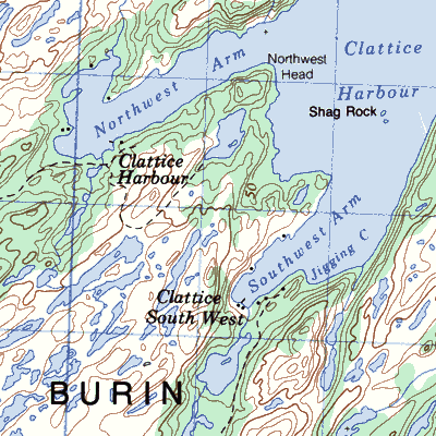
Clattice Harbour northeast of Marystown
|
Coney Arm near Jackson's Arm
|
Conn on the north side of Fortune Bay
|
Connaigre on the tip of the Connaigre Pensinsula
|
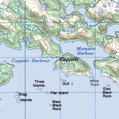
Coppett on a peninsula between White Bear Bay to the west and Bay de Vieux to the east near Ramea
|
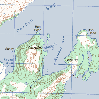
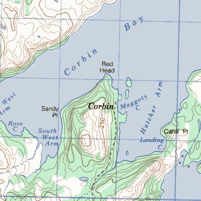
Corbin, Fortune Bay in Corbin Bay north of Belleoram
|
Corbin, Burin Peninsula east of St. Lawrence
|
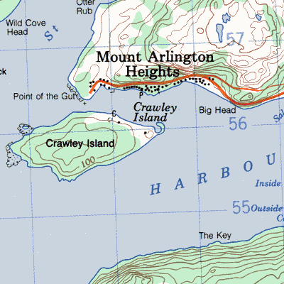
Crawley Island in the mouth of Long Harbour
|
Crouse or Northeast ~ in the mouth of Long Harbour
|
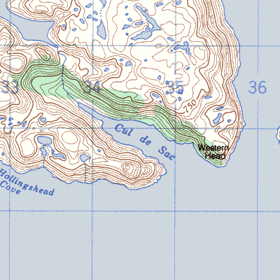
Cul De Sac East east of Ramea west of Eastern Head
|
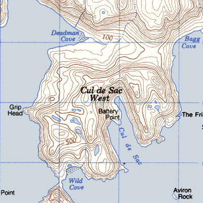
Cul De Sac West east of Cape La Hune in mouth of Aviron Bay
|
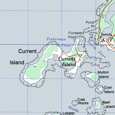
Current Island off St. Barbe Coast south of Flowers Cove
|
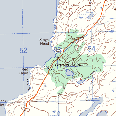
Daniel's Cove on the northwest tip of the Bay de Verde Peninsula north of Old Perlican
|
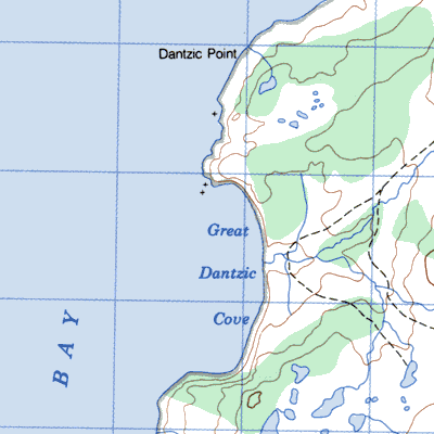
Dantzic south of Dantzic Point the southwest tip of the Burin Peninsula
|
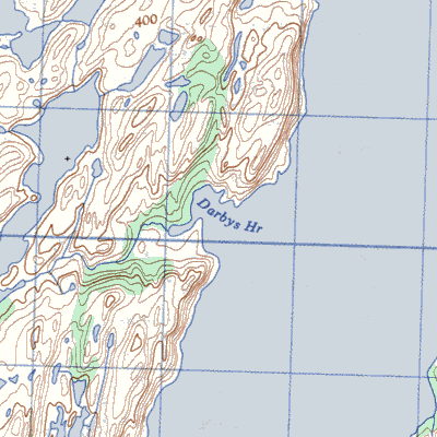
Darby's Harbour on the northwest side of Placentia Bay south of Swift Current
|
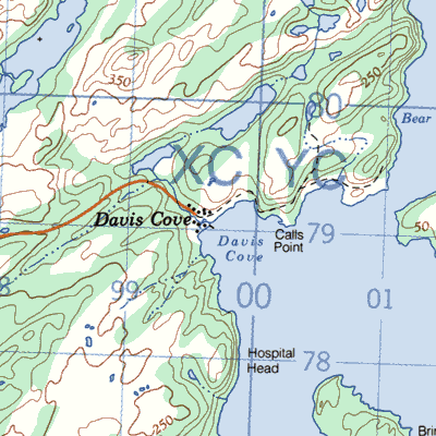
Davis Cove on the west side of Placentia Bay
|
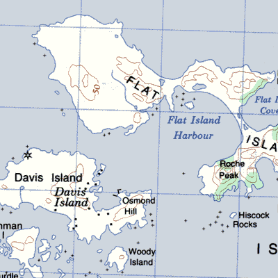
Davis Island, Port Elizabeth the more southerly of the two largest islands in the Flat Islands group
|
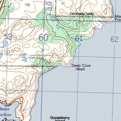
Deep Cove on the west side of the bay
|
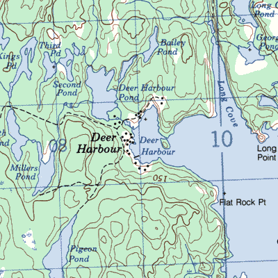
Deer Harbour on the east side of Random Island south of Ireland's Eye
|
Deer Island or Bear Island 6.5km from Ramea
|
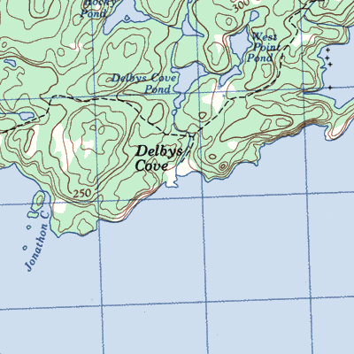
Delby's Cove or Selby's Cove at the entrance to Smith Sound
|
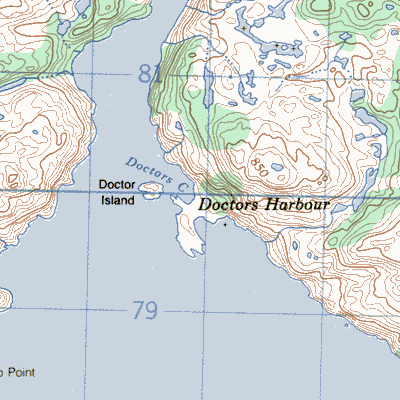
Doctors Harbour in Belle Bay between Rencontre East and Belleoram
|
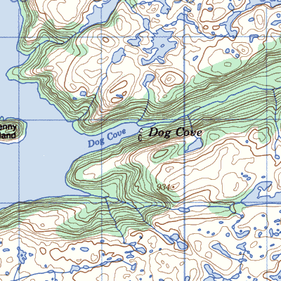
Dog Cove on the east side of Bay de Vieux
|
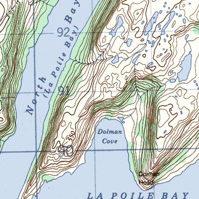
Dolman Cove east of North Bay
|
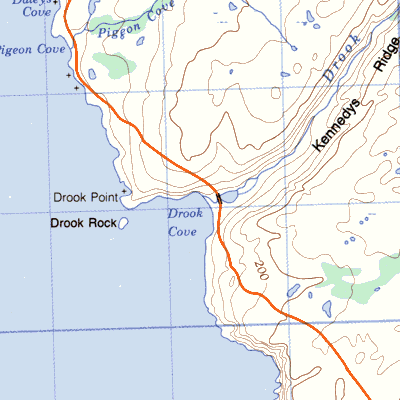
Droke between Portugal Cove South and Cape Race
|
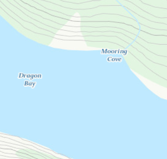
Dragon at the entrance to Hermitage Bay
|
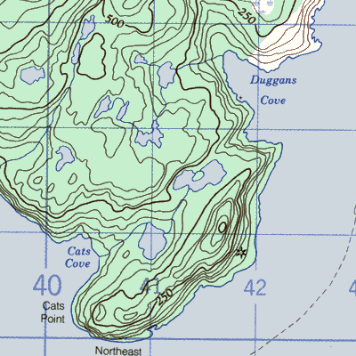
Duggan's Cove near Hooping Harbour
|
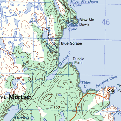
Duricle adjacent to Tides Cove near Mortier Bay
|
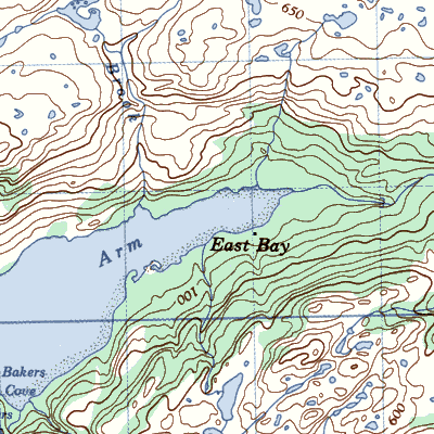
East Bay on east shore of the bay
|
Eastern Tickle at the entrance to Fogo Harbour
|
Exploits, Burnt Islands on an island at the head of Notre Dame Bay
|
Fair Islands close to the shore line east of Centreville
|
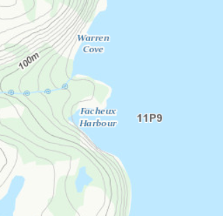
Facheux Harbour on the western side of Facheux Bay near Western Head
|
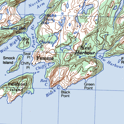
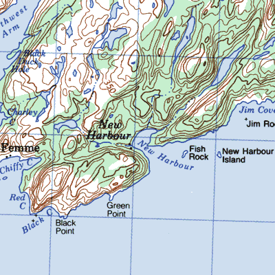
Femme in northeastern Fortune Bay northwest of St. Bernard's
|
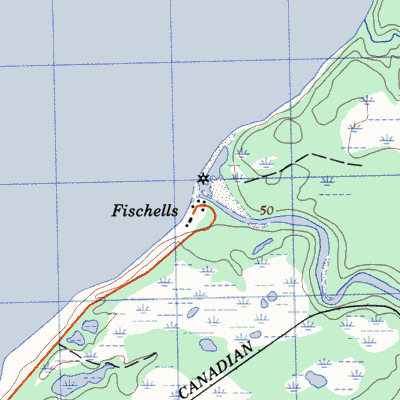
Fishells or Fischells; Fischell south of Stephenville near the mouth of Fishells River or Brook
|
Fishers Cove Near Cape Bonavista

|
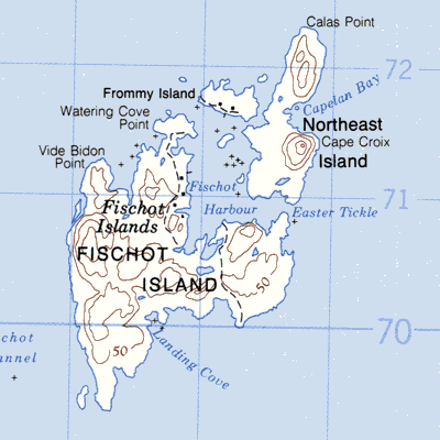
Fishot (Fischot) Islands on the northeastern side of Fishot Island
|
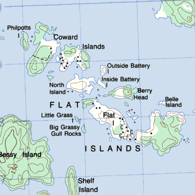
Flat Islands, Bonavista Bay in central Bonavista Bay
|
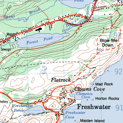
Flatrock north of Carbonear
|
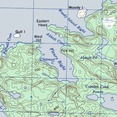
Fleury's Bight near the westerly tip of the New Bay Peninsula
|
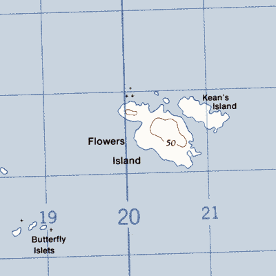
Flowers Island in Bonavista Bay south of Cape Freels
|
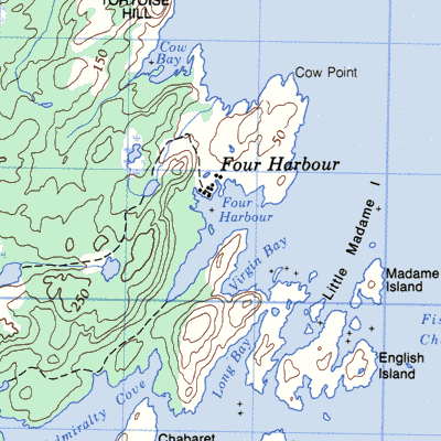
Four Harbour west side of bay near Great Harbour Deep
|
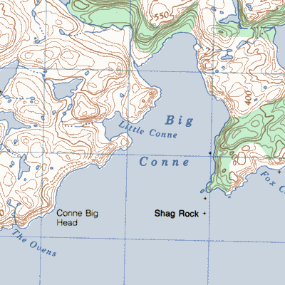
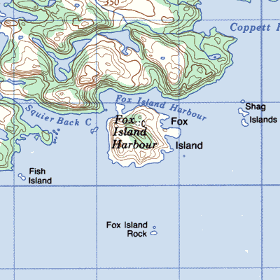
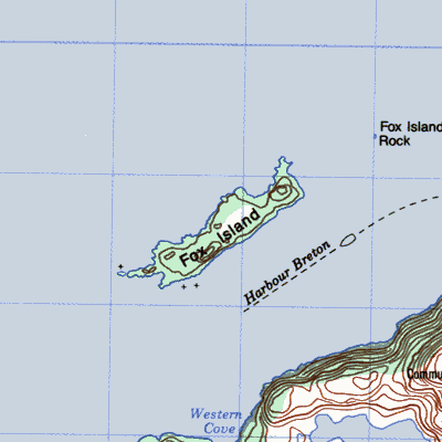
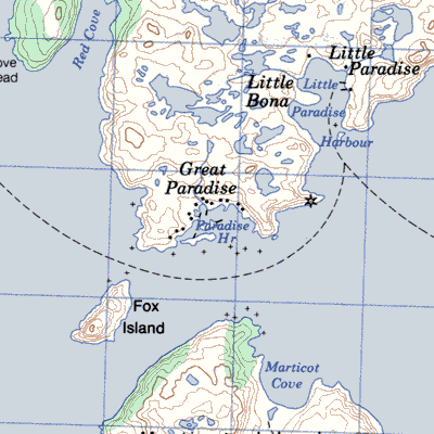
Fox Island, or Fox Island Harbour, South Coast near the western entrance to Bay de Vieux
|
Fox Island, Hermitage Bay a cluster of islands, islets and rocks southwest of Hermitage
|
Freshwater Bay near St. John's
|
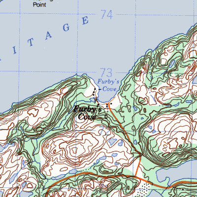
Furby's Cove northeast of Hermitage
|
Gadds Harbour

|
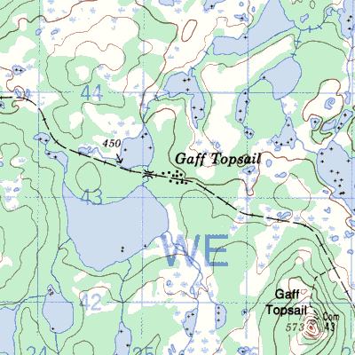
Gaff Topsail on the Newfoundland Railway between Millertown Junction and Kitty's Brook
|
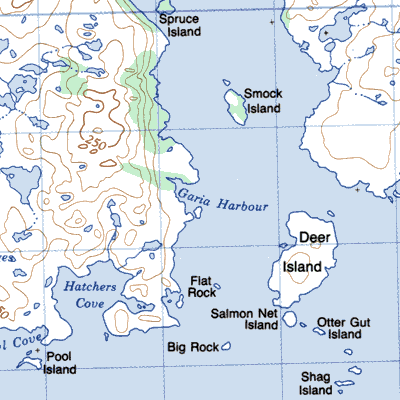
Garia 16km northeast of Rose Blanche
|
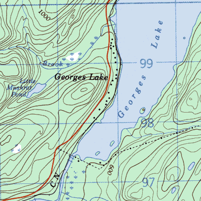
George's Lake
|
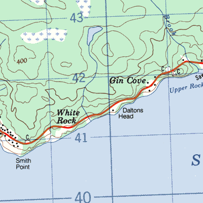
Gin Cove on the north shore of Smith Sound between Harcourt and Monroe 20km east of Clarenville
|
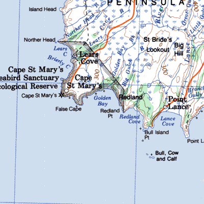
Golden Bay just east of Cape St. Mary's
|
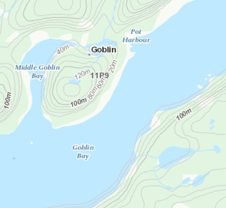
Goblin near the northern entrance to Bay d'Espoir
|
Goose Arm on the south side of Goose Arm an extension of Middle Arm
|
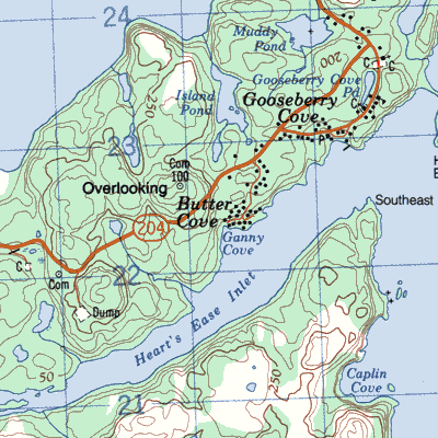
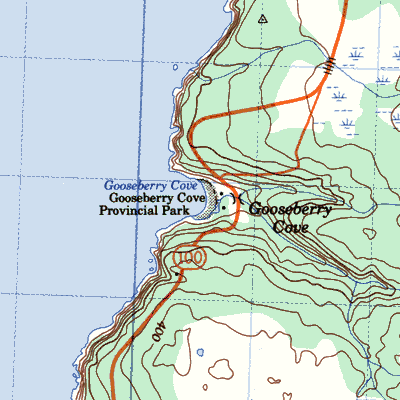
Gooseberry Cove about 21 km (13 mi) south of Placentia on the Cape Shore
|
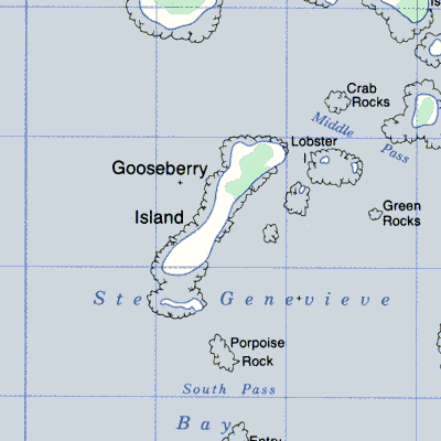
Gooseberry Island near the northerly entrance to Ste. Genevieve Bay north of Port aux Choix
|
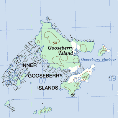
Gooseberry Islands in Bonavista Bay north of Eastport
|
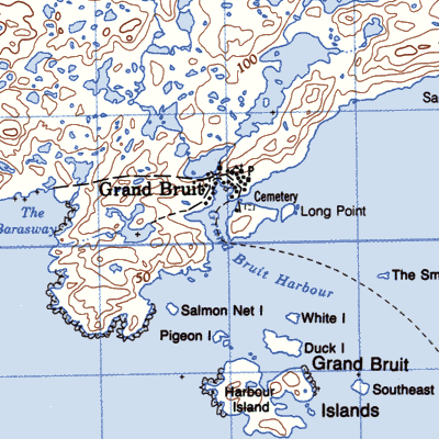
Grand Bruit west of Burgeo
|
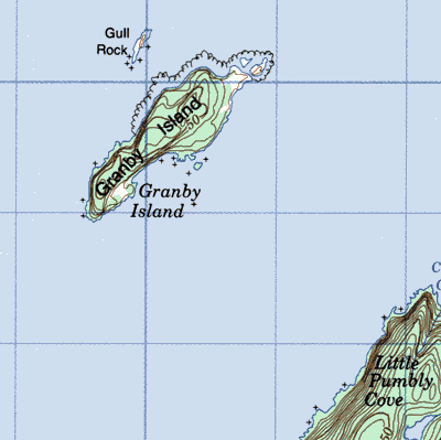
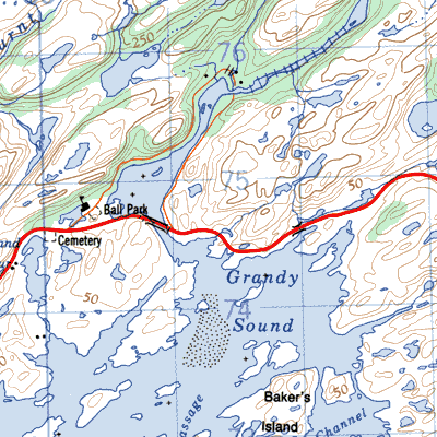
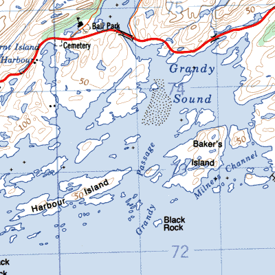
Granby Island WB off east coast of bay near northern entrance
|
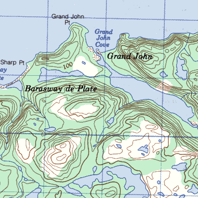
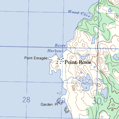
Grand John between Point Enragee and St. Bernard's north of Grand Bank
|
Grandy's Brook 5km (3 mi) west of Burgeo
|
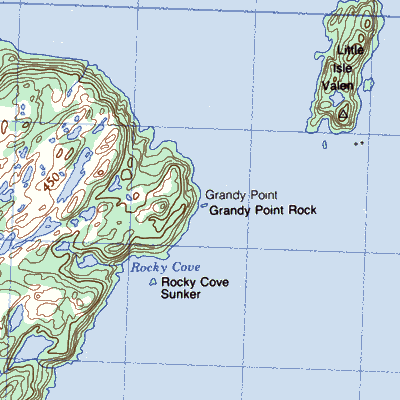
Grandy Point on the west side of Placentia Bay south of Isle Valen
|
Grandy's Passage on Grandy Sound 14km west of Rose Blanche
|
Great Bay de L'eau Island opposite Miller's Passage west of Belleoram

|
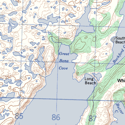
Great Bona or Great Bonahin Great Bona Cove northeast of Marystown
|
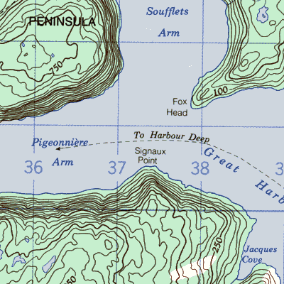
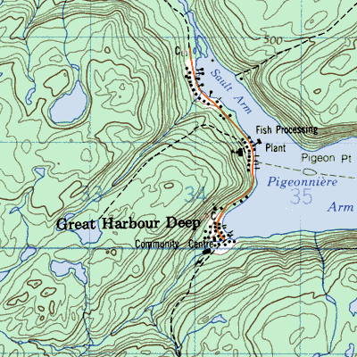
Great Harbour Deep formerly Orange Bay on the south shore of Pigeonniere Arm
|
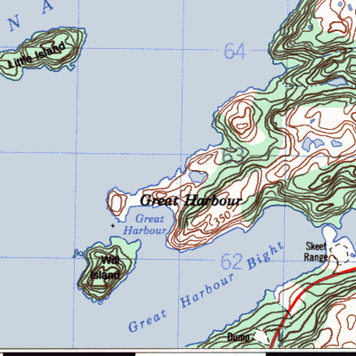
Great Harbour or Connaigre on the tip of the Connaigre Pensinsula
|
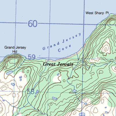
Great Jarvis also known as Grand Jervis, Grand Jersey, Grand Ferry and Grand Jervey in Great Jarvis or Grand Jersey Cove north of Grand Bank
|
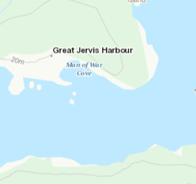
Great Jervais also known as Great Jervois, Great Jarvis, Great Jervis and Man-of-War's Harbour near the northwestern entrance of Bay d'Espoir
|
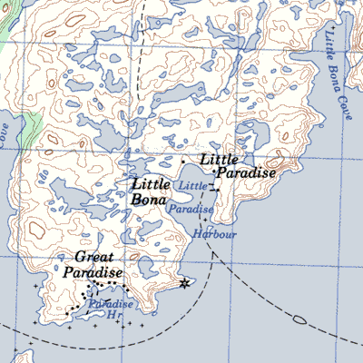
Great Paradise tip of Paradise Sound 23km east of Baine Harbour
|
Green Point between Rocky Harbour and Cow Head
|
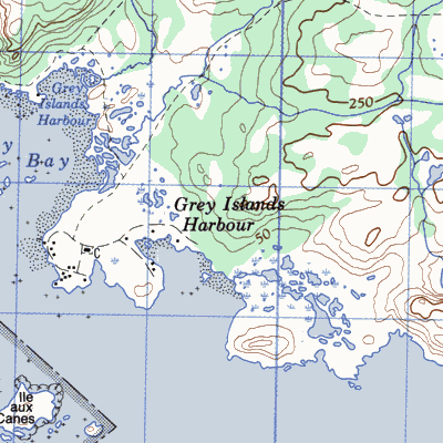
Grey Islands or Gray or Groais in White Bay east of Englee
|
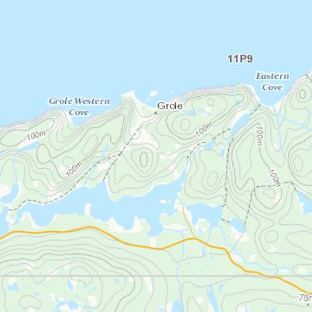
Grole near Pass Island
|
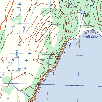
Gull Cove 6 km northeast of Point Lance
|
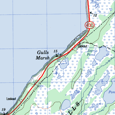
Gulls Marsh on the coast near Bonne Bay
|
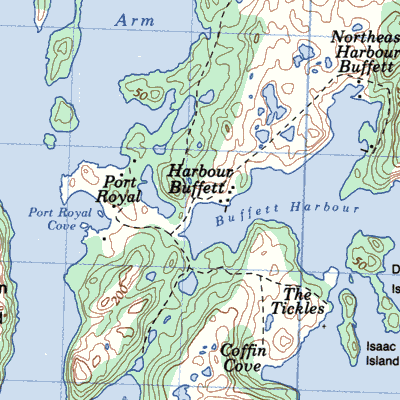
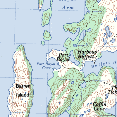
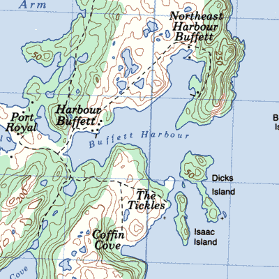
Harbour Buffett on the southeastern side of Long Island Placentia Bay
|
Harbour Deep on the south shore of Pigeonniere Arm
|
Harbour Galletton the north shore of Long Island in Bay D'Espoir
|
Harbour Island just west of Merasheen Island

|
Hare Harbour on thenorth side of Fortune Bay east of the entrance to Mal Bay

|
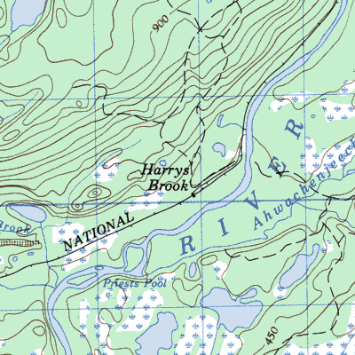
Harry's Brook on the railway line between Corner Brook and Stephenville
|
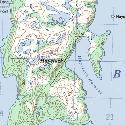
Haystack on the northeast coast of Long Island north of Harbour Buffett
|
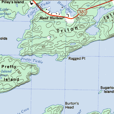
Head's Harbour at the southwestern extremity of Triton Island
|
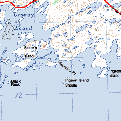
Hiscock's Point on a point of land separating Coney Bay and God Bay 14km east of Channel-Port aux Basques
|
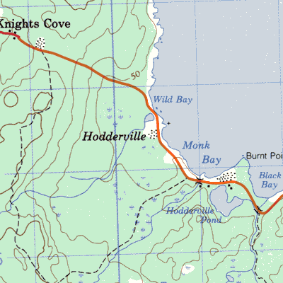
Hodderville near Knight's Cove Bonavista Bay
|
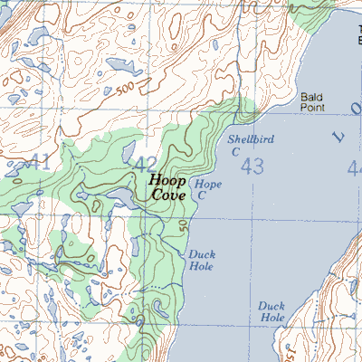
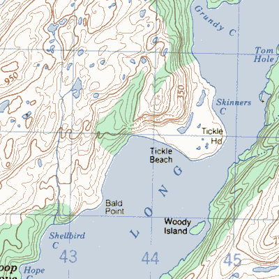
Hoop Cove on the west side of Long Harbour between Anderson's Cove and Tickle Beach
|
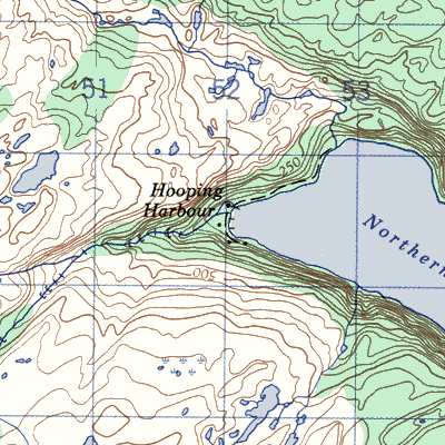
Hooping Harbour 16km south of Englee
|
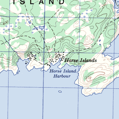
Horse Islands northeast of Baie Verte
|
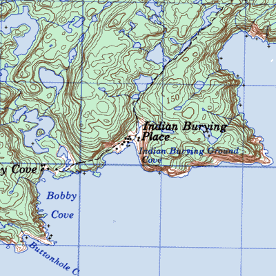
Indian Burying Place south of Nippers Harbour
|
Indian Cove on north coast of Fogo Island
|
Indian Harbour at the western entrance to La Poile Bay
|
Indian Harbour on the west side of the bay
|
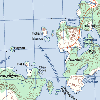
Indian Islands Eastern Indian Island and Western Indian Island or Perry's ~ in Sir Charles Hamilton Sound south of Fogo Island
|
Inglewood Forest 5km east of Adeytown
|
Innismara east end of Woods Island
|
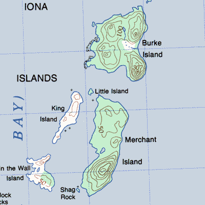
Iona or Rams Islands near the entrance to Long Harbour
|
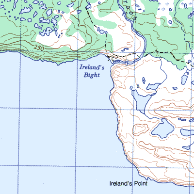
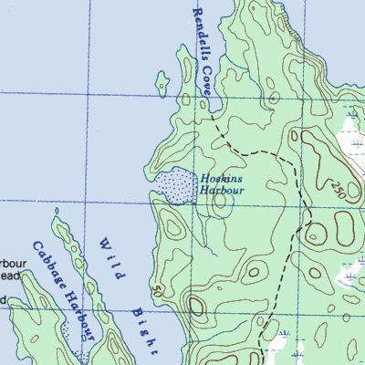
Irelands Bight on the north shore of Hare Bay
|
Irelands Eye at the north entrance to Smith Sound

|
Island Cove between Long Beach and Hodge's Cove
|
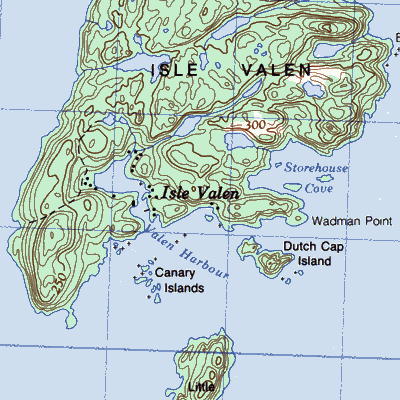
Isle Valen west of Merasheen Island
|
Ivanhoe on the southwest side of Ireland's Eye island
|
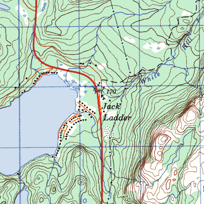
Jack Ladder Bonne Bay Big Pond
|
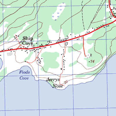
Jerry's Nose on the Port au Port Peninsula between Ship Cove and Campbell's Creek
|
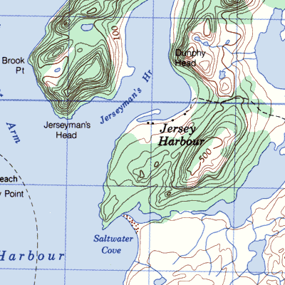
Jersey Harbour 3km northeast of Harbour Breton
|
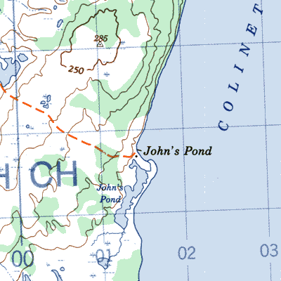
John's Pond 10km south Colinet
|
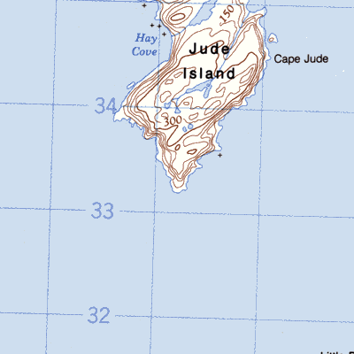
Jude Island or Hay Cove
|
Julie's Harbour on the north shore of Badger Bay
|
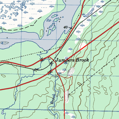
Jumpers Brook near Bishops Falls
|
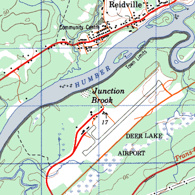
Junction Brook 10km northeast of Deer Lake
|
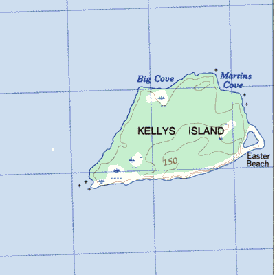
Kellys Island in Conception Bay
|
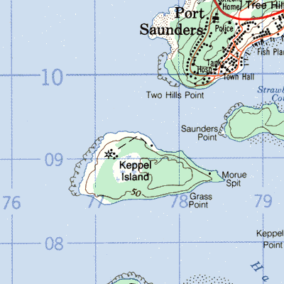
Keppel Island near the entrance to Hawkes Bay
|
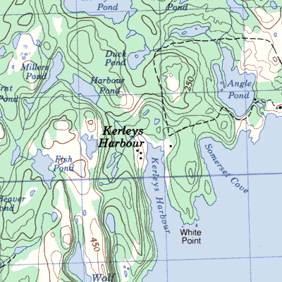
Kerley's Harbour 10km southwest of Trinity
|
King's Cove on the Green Bay side of a promontory separating Western Arm from Green Bay
|
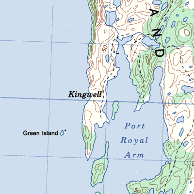
Kingwell on the west side of Long Island
|
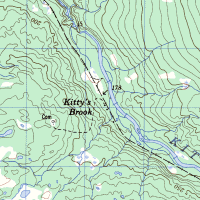
Kittys Brook east of Howley
|
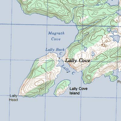
Lally Cove between Pool's Cove and Rencontre East
|
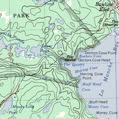
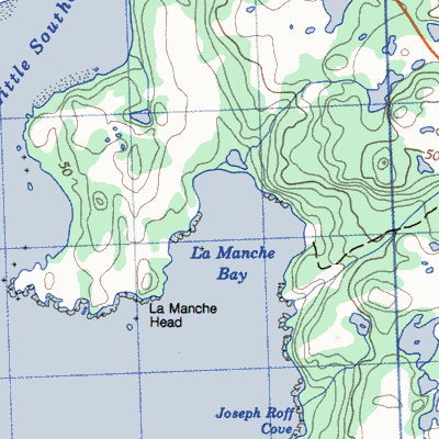
La Manche between Tors Cove and Cape Broyle
|
La Manche 4km southeast of Southern Harbour
|
Lamble's Passage on the north shore of Lampidoes Passage
|
L'Anse-a-l'Eau
|
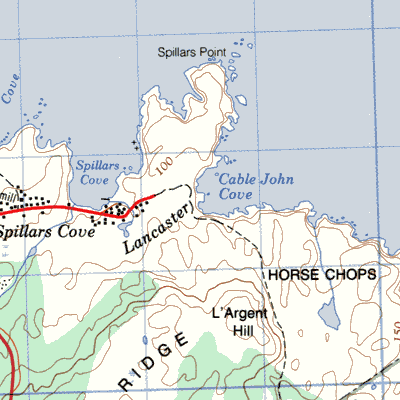
Lancaster on the Trinity Bay side of the Bonavista Peninsula just south of Cape Bonavista
|
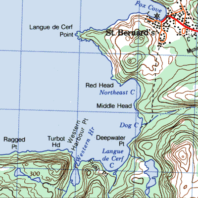
Langue De Cerf 3km from St. Bernard's
|
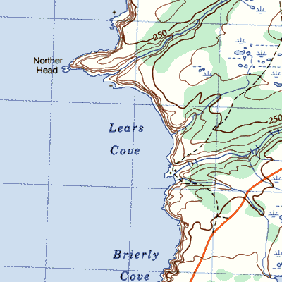
Lears Cove 8km south of St. Bride's
|
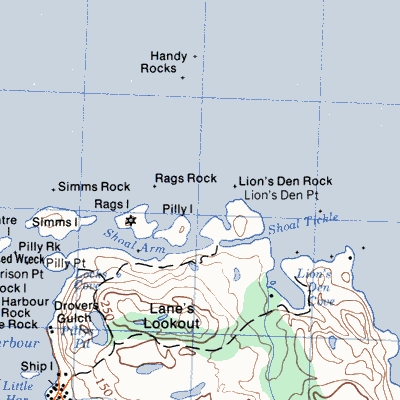
Lion's Den 2km east of Fogo Harbour
|
L'isle Rouge off Cape Cormorant on the Port au Port Peninsula
|
Little Bay or Stone Valley on the south side of Little Bay Long Island

|
Little Bay or ~~ West in Great Bay de l'Eau
|
Little Bona between Little Paradise and Presque
|
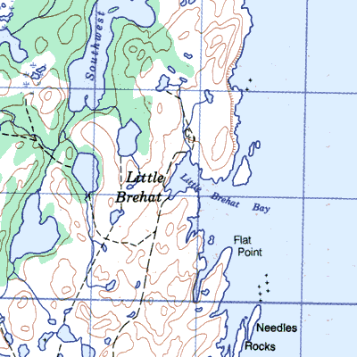
Little Brehat part of Great Brehat northeast of St. Anthony
|
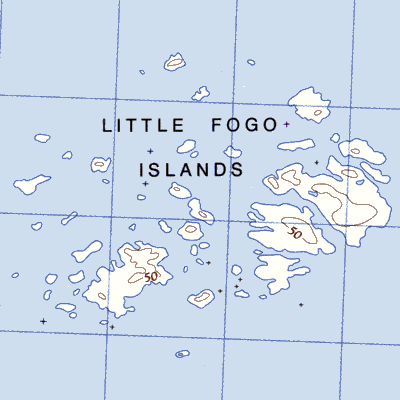
Little Fogo Islandson Waterman's Harbour Island north of Fogo Island
|
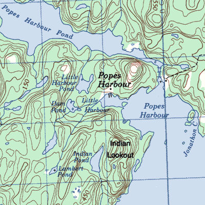
Little Harbournear Pope's Harbour at the entrance to Smith Sound
|
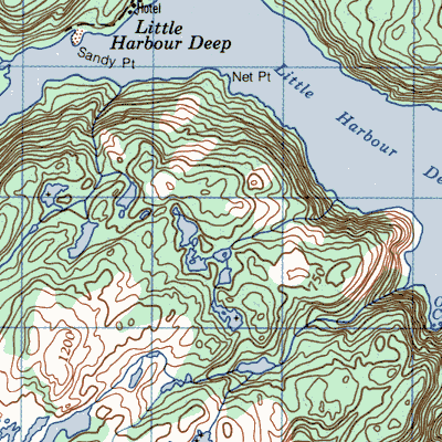
Little Harbour Deep 15km south of Great Harbour Deep
|
Little Harbour 10km north of Oderin
|
Little Paradise 50 km west of Argentia

|
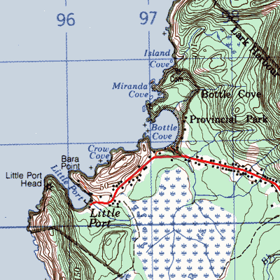
Little Port at the southwest entrance to the Bay of Islands
|
Little Ridge east side of Chapel Arm
|
Little Wards Harbour near the entrance to Little Bay Arm

|
Lobster Cove near Rocky Harbour
|
Lobster Harbour on the Baie Verte Peninsula between Wild Cove and Seal Cove
|
Lobster Harbour near the causeway connecting New World Island and South Twillingate Island
|
Lockesporte in Seal Bay
|
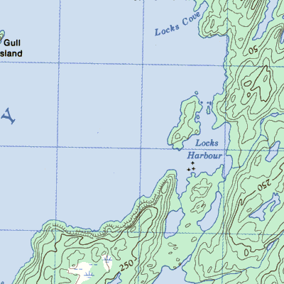
Locks Cove on the northwest shore of Hare Bay
|
Locks Cove or Bob Lock's Cove in Hare Bay 3km northeast of Cul de Sac East
|
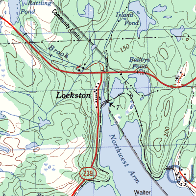
Lockston at Trinity Harbour where Lockston River empties into Trinity Bay
|
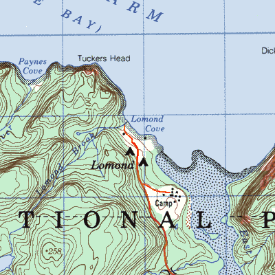
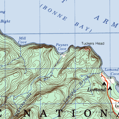
Lomond or Murphy's Cove at the head of East Arm in Bonne Bay
|
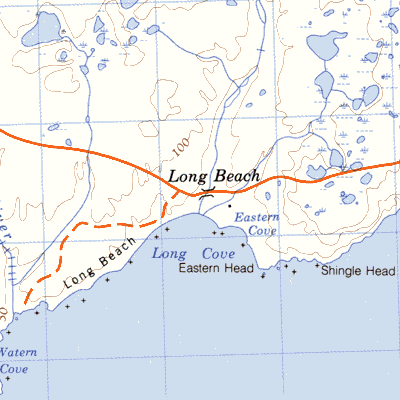
Long Beach 5km southwest of Cape Race
|
Long Beach 3km north of Princeton in Southern Bay Bonavista Bay
|
Long Islands in Bonavista Bay at the mouth of Chandler Reach 12km south of Salvage
|
Long Point at the northern tip of the Port au Port Peninsula
|
Loreburn on south coast of Random Island
|
Low Brook 3km northeast of Cape Anguille
|
Man Point on the south side of Content Reach 5km east of Hare Bay, Bonavista Bay
|
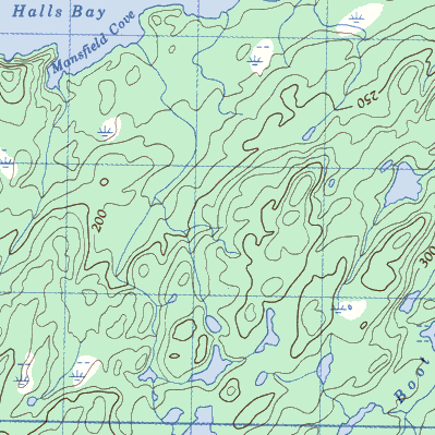
Mansfield Point and ~ Cove
|
Marticot Island

|
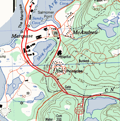
Marquise on the west side of the Argentia Peninsula isthmus
|
McDougalls Gulch on the coast 20 km northwest of Port aux Basques
|
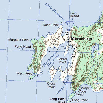
Merasheen on the southwestern tip of Merasheen Island
|
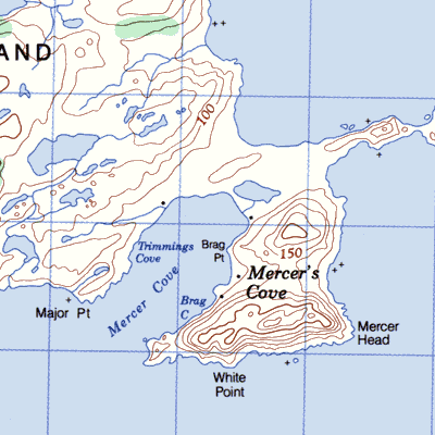
Mercer's Cove on Brunette Island
 |
Middle Arm, White Bay on the Baie Verte Peninsula about 9km south of Seal Cove
|
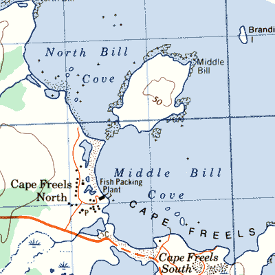
Middle Bill Cove, Cape Freels at the entrance to Bonavista Bay
|
Mill Cove near Lomond and Stanleyville in Bonne Bay
|
Miller's Passage on the Connaigre Peninsula in Great Bay de l'Eau
|
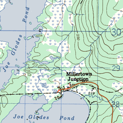
Millertown Junction 29km northeast of Millertown
|
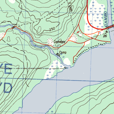
Mint Brook near Gambo
|
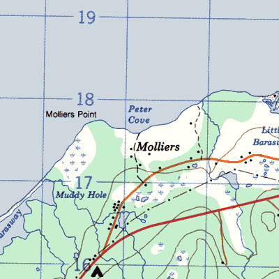
Molliers on the western side of the Burin Peninsula
|
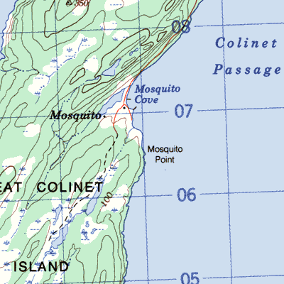
Mosquito on the south side of Great Colinet Island St. Mary's Bay
|
Mosquito between Bonne Bay and Bay d'Espoir ner McCallum

|
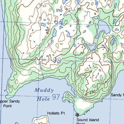
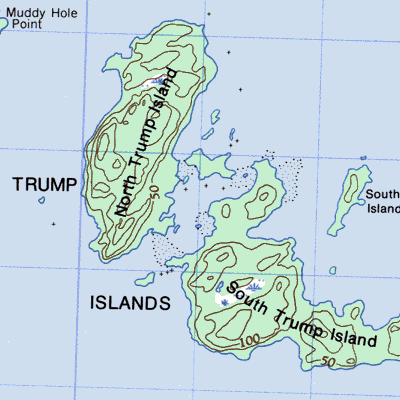
Muddy Hole west of the entrance to Hermitage Bay between Richard's Harbour and McCallum
|
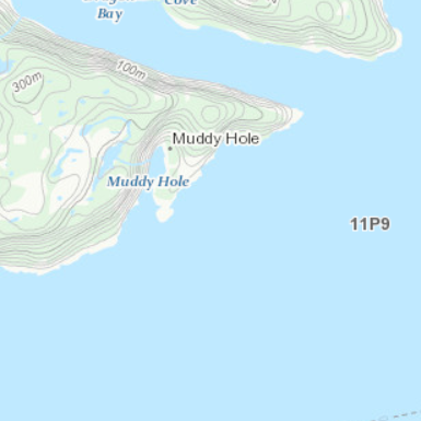
Muddy Hole near the head of the New Bay Peninsula west of Exploits Island
|
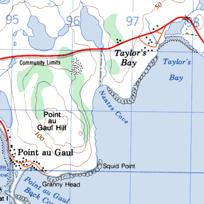
Nantes Cove on the south coast of the Burin Peninsula east of Point au Gaul
|
New Bay Head north of Cottrell's Cove
|
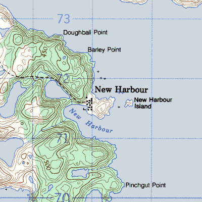
New Harbour, Fortune Bay across the Bay north of St. Bernard's
|
New Harbour or Parsons Harbour on the south coast at the mouth of Rencontre Bay
|
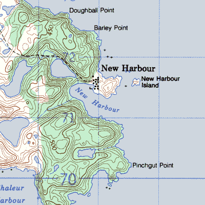
Newport on either side of New Harbour about 15km southwest of Wesleyville
|
Nimrod southeast corner of Triton Island
|
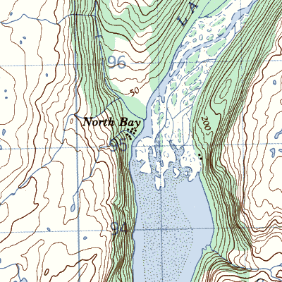
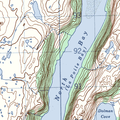
North Bay at the head of North Bay La Poile Bay
|
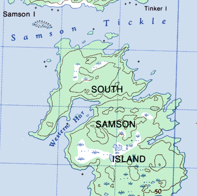
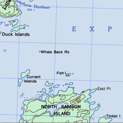
North Samson Island or Samson Island on either side of Samson Tickle 10km west of Summerford
|
Northeast Arm on the New Bay Peninsula southeast of Fortune Harbour
|
Northern Harbour on the New Bay Peninsula southeast of Fortune Harbour
|
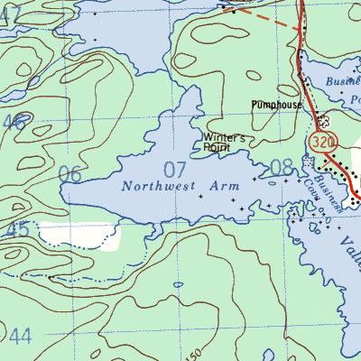
North West Arm across from Valleyfield
|
North West Cove at the head of North Bay LaPoile Bay
|
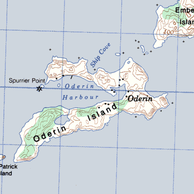
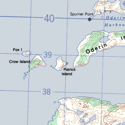
Oderin on Oderin Island 30km northeast of Marystown
|
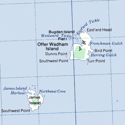
Offer Wadham Island at the eastern entrance to Sir Charles Hamilton Sound south of Fogo Island
|
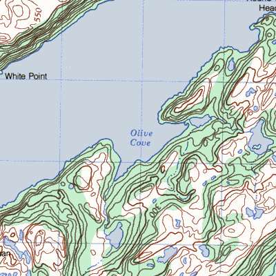
Olive Cove near the head of Hermitage Bay
|
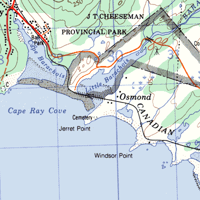
Osmond or Barachois Point south of Cape Ray
|
Osmonton on the eastern shore of the northwest arm of New Bay
|
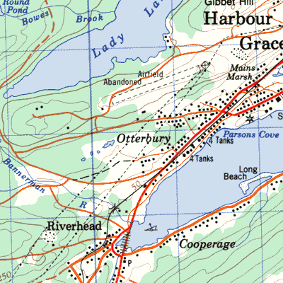
Otterbury northeast of Carbonear
|
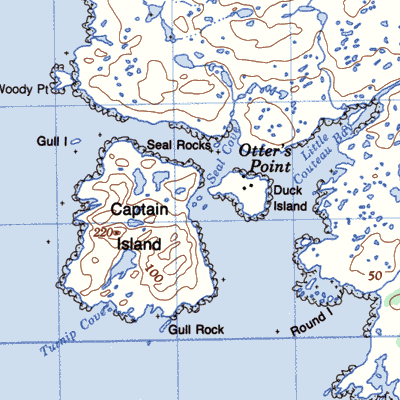
Otter's Point also Hatter's Point 30km west of Burgeo
|
Paddocks Bight at the mouth of Rencontre Bay
|
Parsons Harbour also New Harbour at the mouth of Rencontre Bay
|
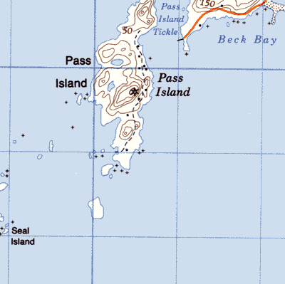
Pass Island off the tip of the peninsula which separates Hermitage and Connaigre bays
|
Patrick's Cove or ~ Harbour near the mouth of Bay d'Espoir on the north shore of Long Island

|
Patricks Island near Oderin
|
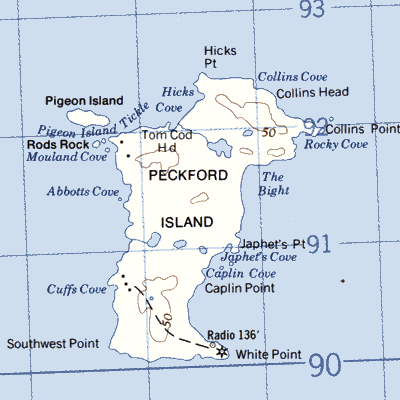
Peckfords Island offshore Musgravetown
|
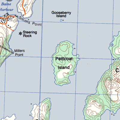
Petticoat Island 4km east of Baine Harbour
|
Pey's Cove or Pay's Cove between English Harbour East and Grand La Pierre
|
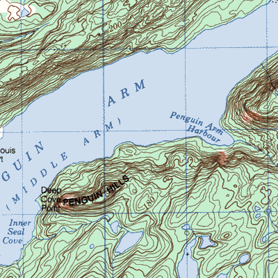
Penguin Arm the north branch of Middle Arm Bay of Islands
|
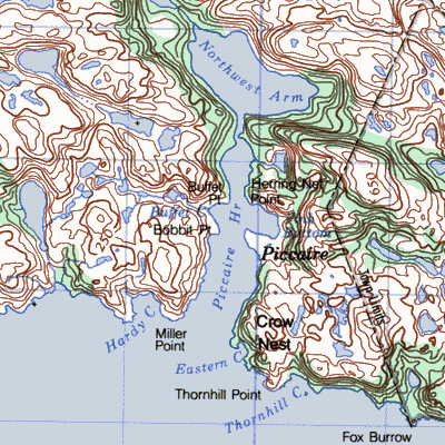
Piccaire on the east side of Piccaire Harbour just west of Gaultois
|
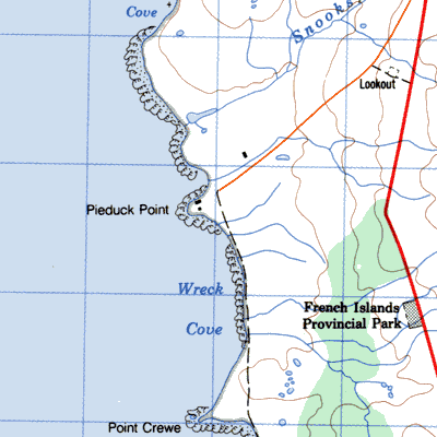
Pie Duck Cove near the tip of the Burin Peninsula just north of Point Crewe
|
Pigeon Cove in St. Barbe Bay
|
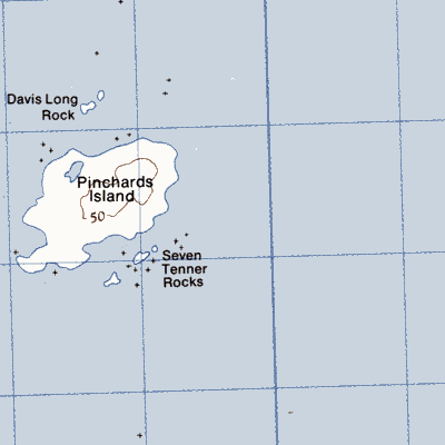
Pinchard's Island 5km south of Cape Freels
|
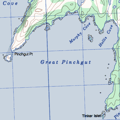
Pinch Cove on Great Pinchgut 6 km north of Fair Haven
|
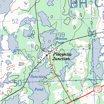
Placentia Junction 12km southwest of Whitbourne
|
Pleasantview on the west shore of the South Arm of New Bay
|
Point Crewe at the tip of the Burin Peninsula
|
Point Enragee at the "kneecap" 16 km north of Garnish
|
Pond Cove west headland of St. Genevieve Bay

|
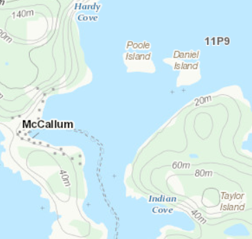
Pooles Island just east of McCallum in Bonne Bay
|
Popes Harbour just north of the entrance to Smith Sound
|
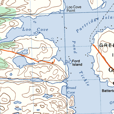
Port Nelson on either side of Loo Cove west of Greenspond
|
Port Royal in Mussell Harbour on the west side of Long Island
|
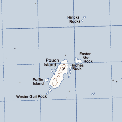
Pouch Island 5km east of Wesleyville
|
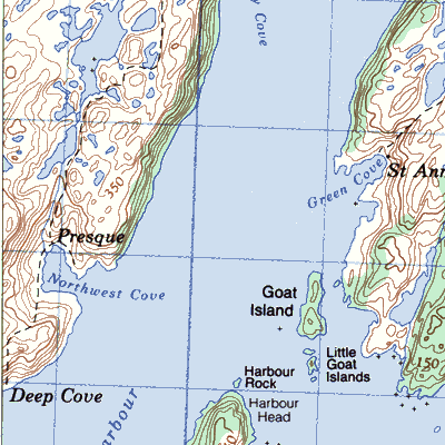
Presque on the west side of Placentia Bay around Northwest Cove in Presque Harbour
|
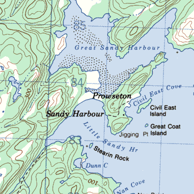
Prowseton on the west side of Placentia Bay on a small peninsula between Great Sandy Harbour and Little Sandy Harbour
|
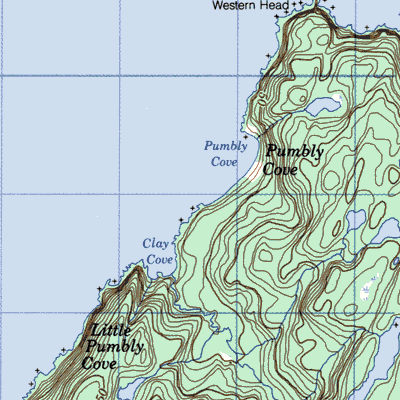
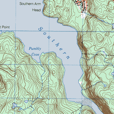
Pumbley Cove on the east side of White Bay 7km southwest of Westport
|
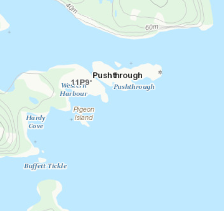
Pushthrough 20km northwest of Hermitage
|
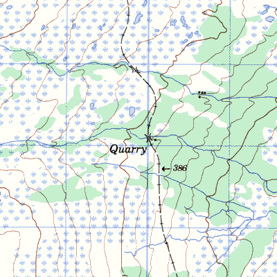
Quarry in the Gaff Topsails north of Buchans
|
Quiller
|
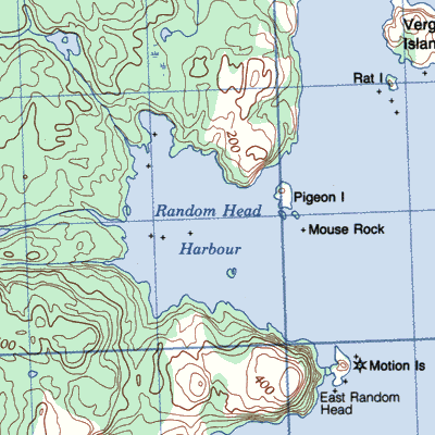
Random Head Harbour on the southeast end of Random Island north of East Random Head
 |
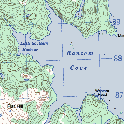
Rantem at the bottom of Trinity Bay
 |
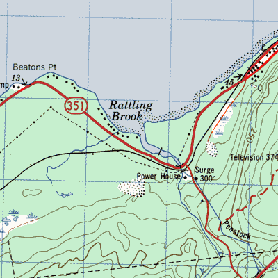
Rattling Brook Depot near Norris Arm
 |
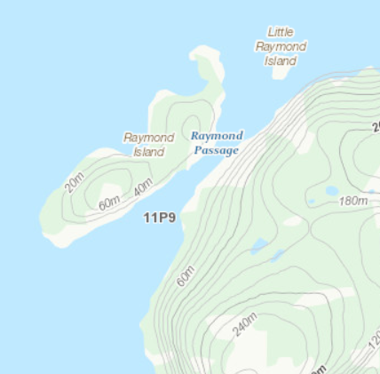
Raymonds Island
 |
Raymonds Point on the northeast corner of Long Island at the entrance to Little Passage
 |
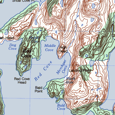
Red Cove near the bottom of Great Bay de l'Eau 5km north of Wreck Cove
|
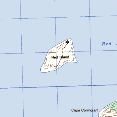
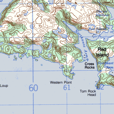
Red Island, Placentia Bay in the centre of the bay
|
Red Island, Southwest Coast about 8km east of Burgeo
|
Red Rocks north of Cape Ray
|
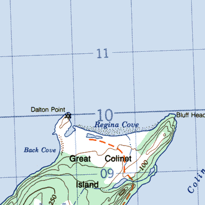
Regina on the north side of Great Colinet Island
|
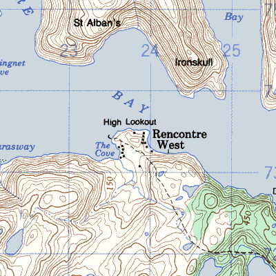
Rencontre West 55km west of Hermitage
|
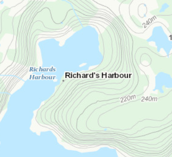
Richards Harbour 12km west of McCallum
|
Rider's Harbour on the northeast corner of Random Island
|
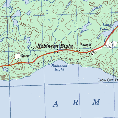
Robinson's Bight on the south side of Random Island
|
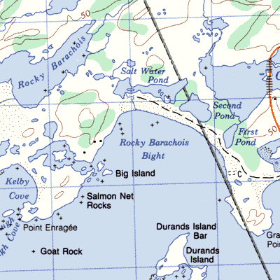
Rocky Barachois5km northwest of Channel-Port aux Basques
|
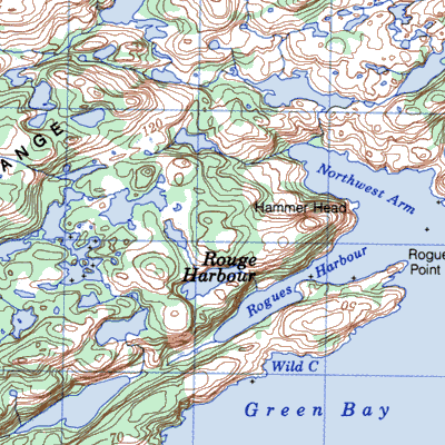
Rogues Harbour on the Baie Verte Peninsula 4 km southwest of Nippers Harbour
|
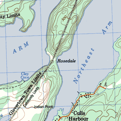
Rosedale near present-day Glovertown
|
Rosiru on the east side of Merasheen Island
|
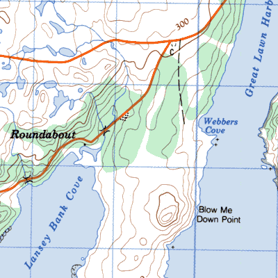
Roundabout on the west side of Lancey Bank Cove
|
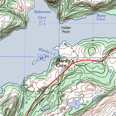
Round Cove or Hardy's Cove near the head of Hermitage Bay 20km northeast of Hermitage
|
Round Harbour on the southern shore of Long Island Hermitage Bay 7km west of Gaultois

|
Round Harbour on the southern shore of Long Island, Hermitage Bay, about 7km west of Gaultois
|
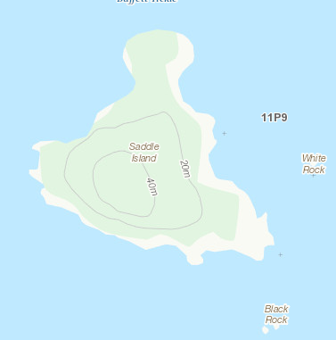
Saddle Island south of Pushthrough
|
Safe Harbour on the north side of Bonavista Bay 7km southwest of Wesleyville
|
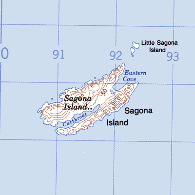
Sagona on an island 12km south of Harbour Breton
|
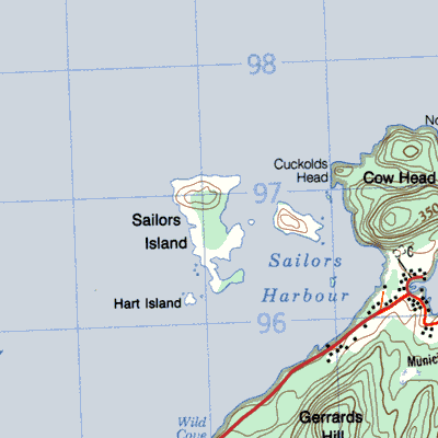
Sailor's Island 2km west of Salvage around Cow Head
|
Sam Hitches Harbour on the southern side of Little Bay on the south side of Long Island, Hermitage Bay

|
Samson Island
|
Sandy Cove in the outer part of western Lawn Bay between Lord's Cove and Roundabout
|
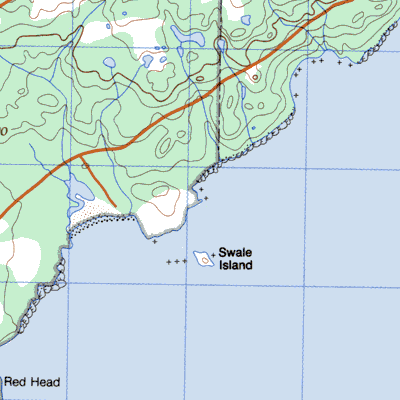
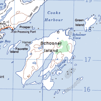
Schooner Island in Pistolet Bay just off Cook's Harbour
|
Scouse Cove at the entrance to Bay d'Espoir on the north shore of Long Island
|
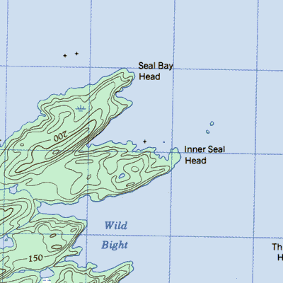
Seal Bay Head
|
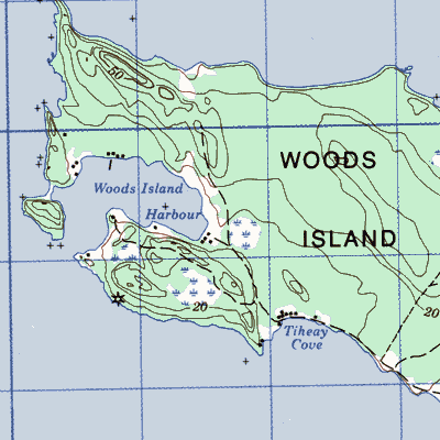
Seal Cove, Woods Island
|
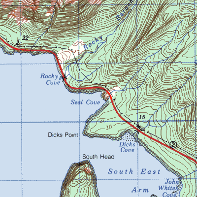
Seal Cove, Bonne Bay on the northeast side of the South Arm of Bonne Bay across from Shoal Brook
|
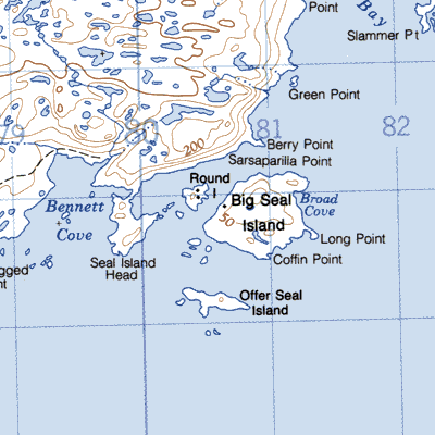
Seal Island or Seal Islands Harbour on the southwest coast 3km east of Petites
|
Serpentine on the lake south of Bay of Islands
|
Shamblers Cove west of Greenspond on the mainland side of Pond Tickle
|
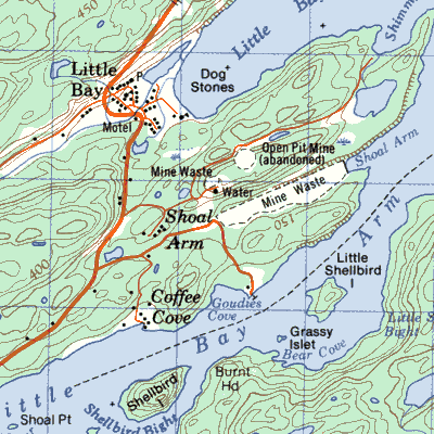
Shoal Arm south of the mining community of Little Bay
|
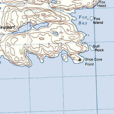
Shoe Cove 5 km southwest of Greenspond just west of Shoe Cove Point
|
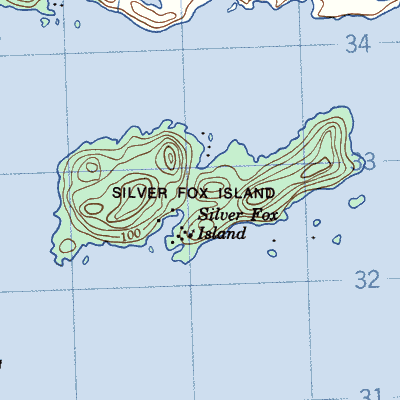
Silver Fox Island on the northwest side of Bonavista Bay at Indian Bay
|
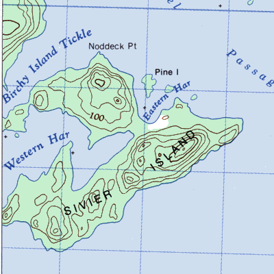
Sivier Island at the mouth of Burnt Bay Bay of Exploits 13km northeast of Lewisporte
|
Smooth Cove south end of South Twillingate Island
|
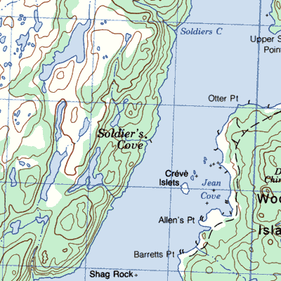
Soldier's Cove on the mainland of western Placentia Bay between Sound Island and Woody Island
|
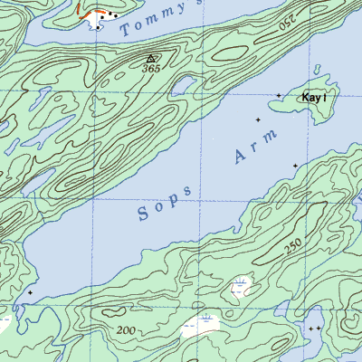
Sops Arm 8km southwest of Pilley's Island
|
Sops Island Notre Dame Bay off Sops Arm
|
Sops Island White Bay off Sops Arm

|
Sound Island in northwestern Placentia Bay near Garden Cove
|
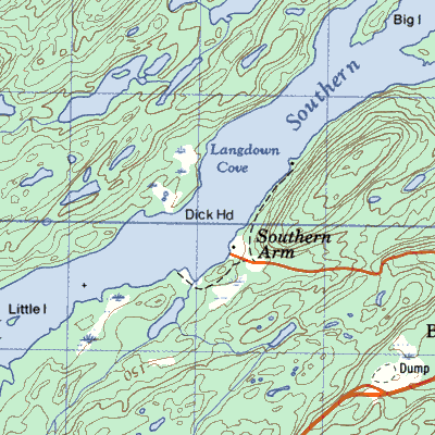
Southern Arm, Green Bay north of Little Bay Islands
|
Southern Arm, White Bay south of Seal Cove
|
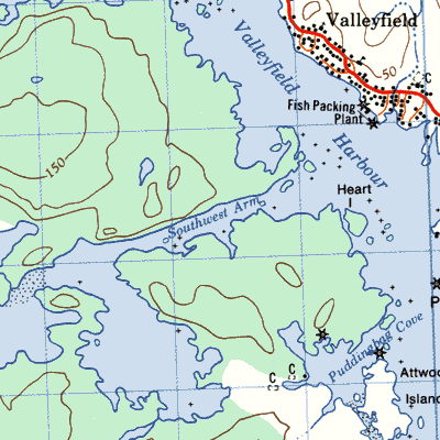
Southwest Arm near Valleyfield harbour near Badger's Quay
|
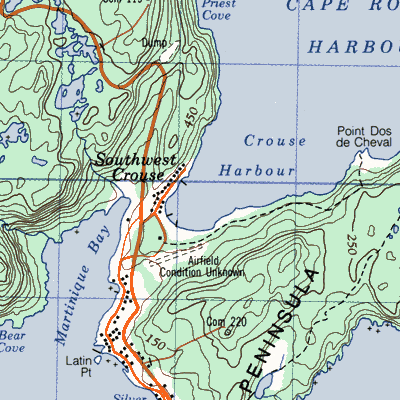
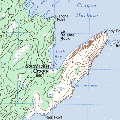
Southwest Croque on the south side of Croque Harbour 35 km southwest of St. Anthony
|
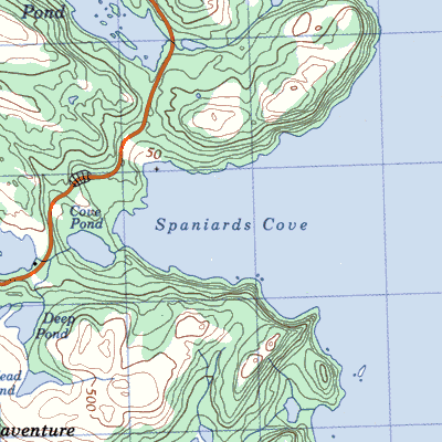
Spaniard's Cove southwest of Trouty
|
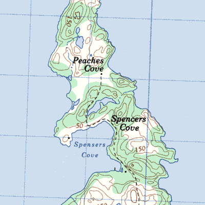
Spencers Cove on the north end of Long Island, Placentia Bay
|
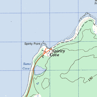
Spirity Cove near the southern entrance of Ingornachoix Bay, 12km south of Port au Choix
|
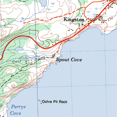
Spout Coveon the north shore of Conception Bay 10km northeast of Carbonear
|
Spruce Brook on Georges Lake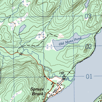
|
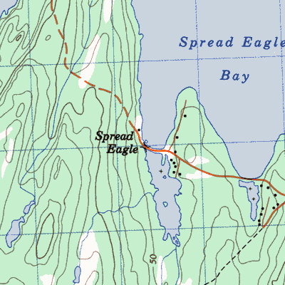
Spreadeagle between Chapel Arm and Old Shop
|
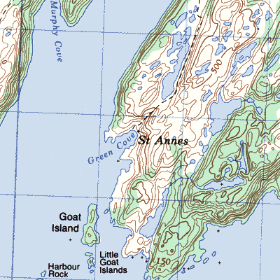
St. Annes within Presque Harbour Placentia Bay
|
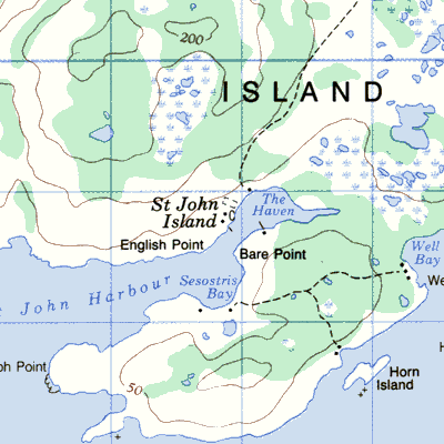
St. John Islandin St. John Bay 15km northeast of Port au Choix
|
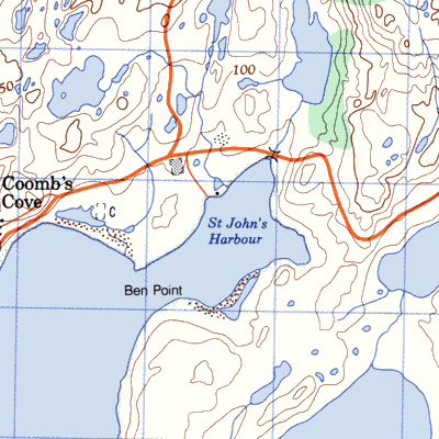
St. John's Harbour
|
St. John Islandin St. John Bay 15km northeast of Port au Choix
|
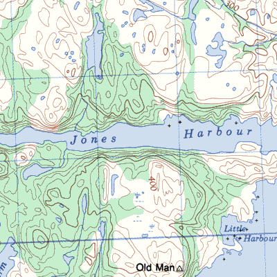
St. Jones Without also Jones Harbour and St. Joans Harbour on the west side of Trinity Bay
|
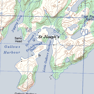
St. Joseph's, Placentia Bay on the west side of Placentia Bay behind the bent "knee" of the Burin Peninsula
|
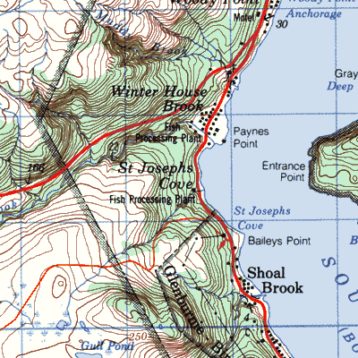
St. Joseph's Cove, Bonne Bay in the South Arm of Bonne Bay, south of Woody Point
|
St. Kyran's at the northern end of Presque Harbour
|
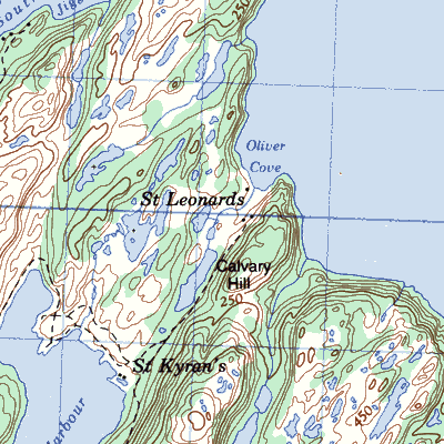
St. Leonard's formerly Oliver's Cove near St. Kyran's

|
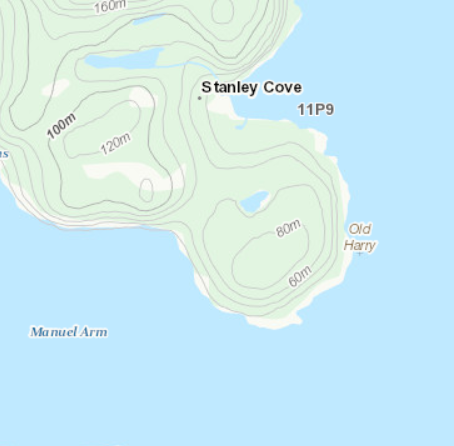
Stanley Cove on the East Arm of Bonne Bay
|
Stanleyville on the East Arm of Bonne Bay
|
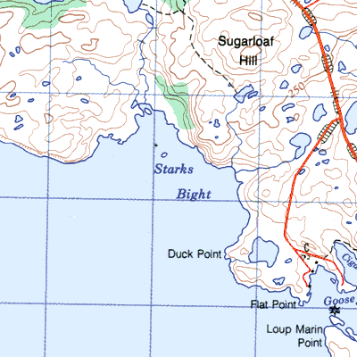
Starks Bight on the north side of Hare Bay 7km southwest of St. Anthony
|
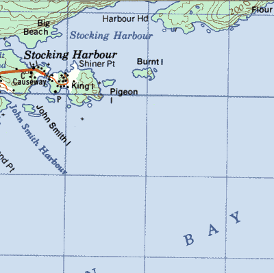
Stocking Harbour on the northwest side of Green Bay north of Smith's Harbour
|
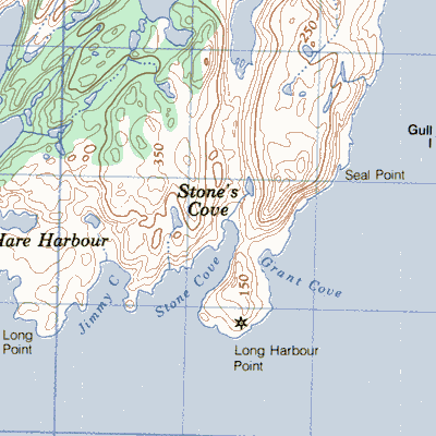
Stone's Cove on the north side of Fortune Bay west of the entrance to Long Harbour
|
Stone Valley on the southern side of Little Bay on the south side of Long Island Hermitage Bay

|
Swains Islands on the north side of Bonavista Bay southeast of Wesleyville
|
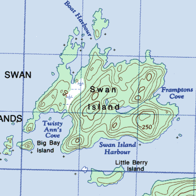
Swan Island in the Bay of Exploits 5km southeast of Exploits Harbour
|
Swoir Cove in a cove at the eastern entrance to White Bear Bay 9km northeast of Ramea
|
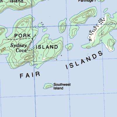
Sydney Cove on Pork Island

|
Tartan Cove on the west side of the narrows to Trepassey Bay
|
Taylors Island east of McCallum
|
Tack's Beach on King Island the largest of the Ragged Islands in western Placentia Bay
|
Tea Cove east of Lourdes
|
The Tickles south of Harbour Buffett
|
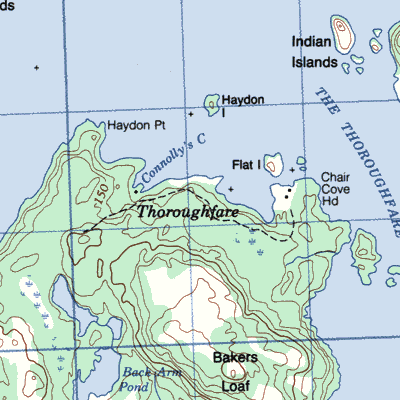
Thoroughfare at the northeast corner of Random Island facing the passage between Random Island and Ireland's Eye
|
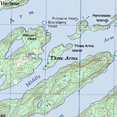
Three Arms in western Notre Dame Bay
|
Three Mountain Harbour north of Goose Cape the northern headland of Hare Bay 6km southwest of St. Anthony
|
Thwart Island in the Bay of Exploits
|
Thibault Woods Island
|
Tibbos near the western entrance to Bay de Vieux east of Ramea
|
Tims Harbour in Gander Bay
|
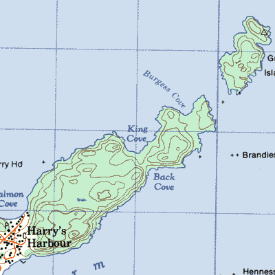
Tickle Beach 6km inside Long Harbour, Fortune Bay
|
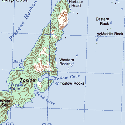
Toslow near the entrance to Presque Harbour
|
Trammer on the north side of Fortune Bay between Conn and Femme 7km northwest of Bay L'Argent
|
Traytown a well-sheltered harbour that nearly bisects the island of Ireland's Eye
|
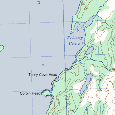
Trinny Cove in eastern Placentia Bay between Long Harbour and Fair Haven
|
Trump Island in the middle of Friday Bay New World Island
|
Turnip Cove in northwestern Fortune Bay north of Poole's Cove

|
Venoms Bight

|
Virgin Cove on Merasheen Island north of Merasheen harbour

|
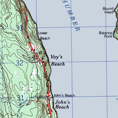
Voy's Beach on the south shore of the Bay of Islands southeast of Frenchman's Cove
|
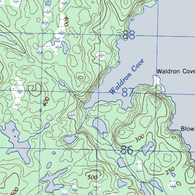
Waldron Cove inside North Head the western headland of the Bay of Exploits
|
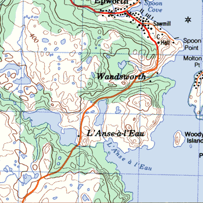
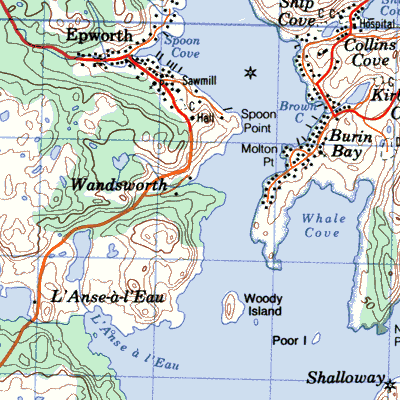
Wandsworth at the western entrance to Burin Inlet across from Ship Cove
|
Webbers or ~Cove at the western entrance to Great Lawn Harbour

|
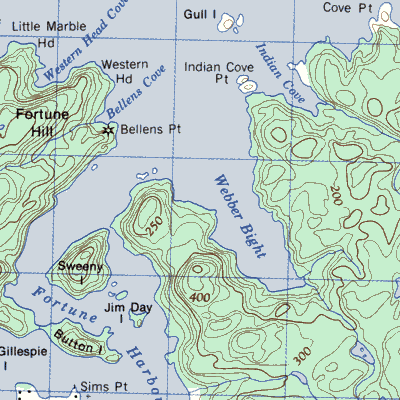
Webber's Bight east of the entrance to Fortune Harbour Notre Dame Bay
|
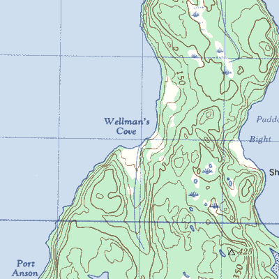
Wellmans Cove on the northwest side of Sunday Cove Island near the mouth of Halls Bay, Notre Dame Bay
|
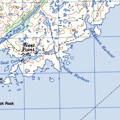
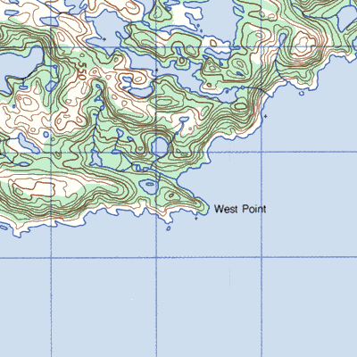
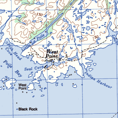
West Point at the western entrance to La Poile Bay
|
Western Arm at Old House Cove on the east side of White Bay northeast of Westport
|
Western Cove, Bar Haven Island on the southeast part of Bar Haven Island
|
Western Head at the northwestern extremity of New World Island
|
White Bear Bay north of Ramea
|
White Rock on the north shore of Smith Sound 12km east of Clarenville

|
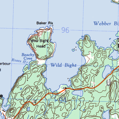
Wild Bight between Moreton's Harbour and Tizzard's Harbour on New World Island
|
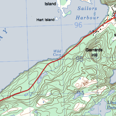
Wild Cove, Bonavista Bay on the southeast side of Eastport (Salvage) Bay between Eastport and Salvage
|
Wild Cove, Canada Bay in Canada Bay 7km southwest of Englee
|
Wild Cove, Notre Dame Bay on the southern shore of Fogo Island, 2 km east of Seldom
|
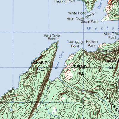
Wild Cove, White Bay near Western Arm
|
Williamsport on the northern arm of Fourch Harbour 25km southwest of Englee

|
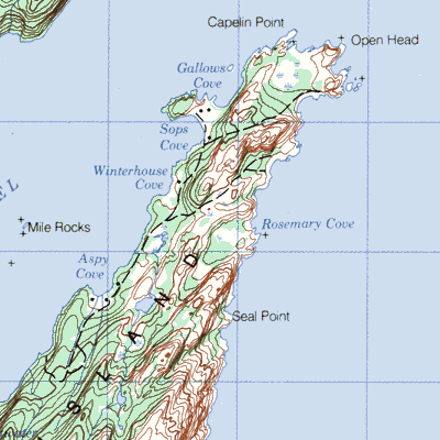
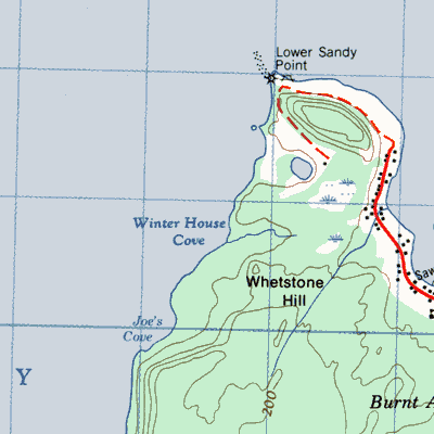
Winter House Cove on the east side of Seal Bay in 7km southwest of Leading Tickles
|
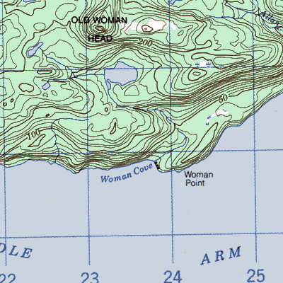
Woman Cove in the Bay of Islands
|
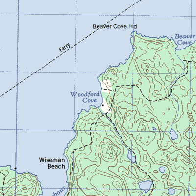
Woodford's Cove on the southeast side of Little Bay 20km northeast of Springdale
|
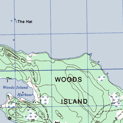
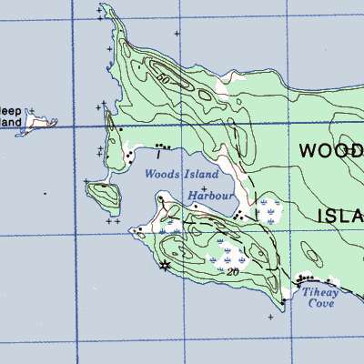
Wood's Island. at the mouth of Humber Arm
|
Woody Head Cove in northwestern Placentia Bay
|
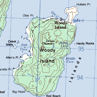
Woody Island in northwestern Placentia Bay
|
Wreck Cove, Point Crewe between Pie Duck Cove and Point Crewe at the tip of the Burin Peninsula
|
Zealot or Great Islets Harbour near the southern headland of Hare Bay inside the Fishot Islands
|